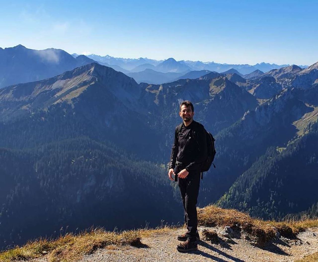
Von Scharnitz nach Gleirschklamm | 1712m
| Elevation gain |
| Elevation loss |
| Distance |
| Duration |
| Highest altitude |
| Rating |
Route Information
This circular hike is one of the most rewarding day walks in the Karwendel Alps. It offers an exceptional variety of landscapes within a single route, combining dramatic gorges, peaceful forests, panoramic mountain views and traditional alpine hospitality. While physically demanding due to its length and elevation gain, it requires no technical climbing skills and is ideal for hikers seeking a full-day mountain adventure in one of Austria's most beautiful protected landscapes.
The Gleirschklamm – Zäunlkopf – Oberbrunnalm Circular Hike is one of the most rewarding full-day hikes in the Karwendel Alps, combining dramatic scenery with peaceful mountain landscapes. Starting and finishing in Scharnitz, the route first follows easy forest paths and gravel tracks before entering the spectacular Gleirschklamm, where wooden bridges and narrow trails wind through a limestone gorge above rushing turquoise water, waterfalls and deep rock pools.
Leaving the gorge behind, the trail climbs steadily through quiet woodland to the summit of Zäunlkopf (1,749 m). The final ascent is steeper, but the effort is rewarded with outstanding panoramic views across the Karwendel Mountains and surrounding alpine valleys. The descent continues through forests and alpine meadows to Oberbrunnalm, a traditional mountain hut offering food and refreshments during the hiking season, before returning to Scharnitz on peaceful forest tracks.
This 18 km circular route takes around 6½–7 hours and involves approximately 900 metres of elevation gain. Although no technical climbing is required, good hiking boots, suitable mountain fitness and sure footing are essential, especially in the gorge where rocks and wooden bridges can become slippery after rain, and on the steeper summit trails with loose stones.
Terrain
The hike combines several different terrain types:
- Wide gravel forest roads
- Narrow woodland footpaths
- Wooden bridges and walkways
- Rocky mountain trails
- Short steep sections near the summit
- Alpine meadows
- Forest descents
No climbing equipment or scrambling is required, although sure-footedness is important in the gorge and on the steeper mountain paths.
Recommended Equipment
- Waterproof hiking boots with good grip
- Trekking poles
- At least 2 litres of water
- High-energy snacks or a packed lunch
- Waterproof jacket
- Warm layer, even during summer
- Sun hat, sunglasses and sunscreen
- Small first-aid kit
- Fully charged mobile phone with offline navigation
- Power bank
- Emergency blanket (recommended)
Hazards and Safety Information
Slippery Surfaces
The Gleirschklamm contains wooden bridges, polished limestone, exposed roots and wet rock surfaces that can become extremely slippery after rainfall. Move carefully and avoid rushing through this section.
Steep Ground
The final ascent to Zäunlkopf contains steeper gradients with loose stones underfoot. Trekking poles can improve stability, particularly during the descent.
Weather
Mountain weather can change rapidly.
Avoid the hike if thunderstorms are forecast. The summit and exposed ridges offer little protection from lightning, while heavy rain significantly increases the risk of slipping in the gorge.
Always check the local mountain weather forecast before setting out.
Limited Mobile Reception
Mobile phone coverage is generally reliable near Scharnitz but may be weak or unavailable within the gorge and in some forested sections. Download offline maps before starting.
| Technical Difficulty | Medium Difficult | |||||||||||
|---|---|---|---|---|---|---|---|---|---|---|---|---|
| Gear | ||||||||||||
| Popularity | 1 | |||||||||||
Route statistics
| Highest point | 1712m | |||||||||||
|---|---|---|---|---|---|---|---|---|---|---|---|---|
| Total gain | 995m | |||||||||||
| Total loss | 995m | |||||||||||
| Duration | 07h01m | |||||||||||
| Distance | 19.7Km | |||||||||||
| Rating | 1189 | |||||||||||
Best Season
Forecast
Author