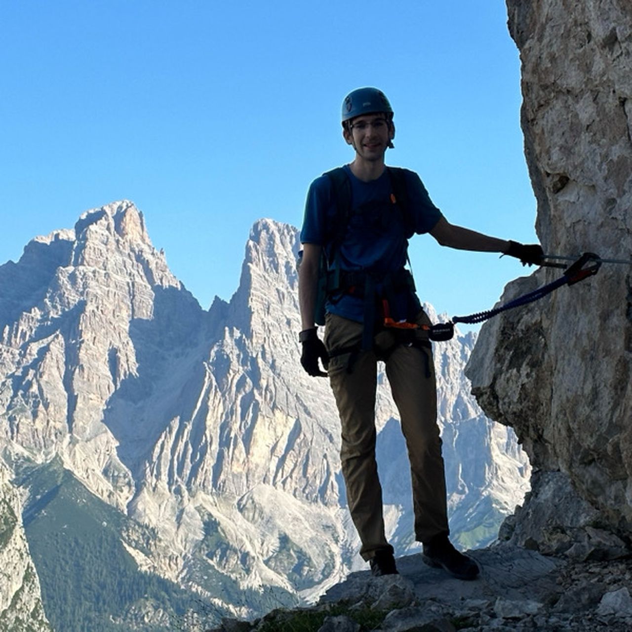
GR54 La Grave to Bourg d‘Oisans | 2761m
| Elevation gain |
| Elevation loss |
| Distance |
| Duration |
| Highest altitude |
| Rating |
Route Information
(No description available)
Automatic direction calculation (experimental feature, please provide feedback)
By car: Navigate using Google maps
By public transport:
Train station near start point: Saint-Michel - Valloire (23.1 Km from start point)
Train station near end point: Jarrie-Vizille (22.9 Km from end point)
------
Automatic hut detection (experimental feature, please provide feedback)
Le Pas de lAne
Location: Google maps
Chalet-Refuge de Chamoissière (2106 m):
Location: Google maps
Refuge du Pré la Chaumette (1805 m):
Location: Google maps
Refuge de Vallonpierre (2271 m):
Location: Google maps
Refuge du Clot ou Xavier Blanc (1399 m):
Location: Google maps
Refuge des Souffles (1980 m):
Location: Google maps
Refuge de la Muzelle (2112 m):
Location: Google maps
------
| Technical Difficulty | Difficult | |||||||||||
|---|---|---|---|---|---|---|---|---|---|---|---|---|
| Gear | ||||||||||||
| Popularity | 1 | |||||||||||
Route statistics
| Highest point | 2761m | |||||||||||
|---|---|---|---|---|---|---|---|---|---|---|---|---|
| Total gain | 9785m | |||||||||||
| Total loss | 10545m | |||||||||||
| Duration | 152h12m | |||||||||||
| Distance | 157.4Km | |||||||||||
| Rating | 7565 | |||||||||||
Best Season
Forecast
Author