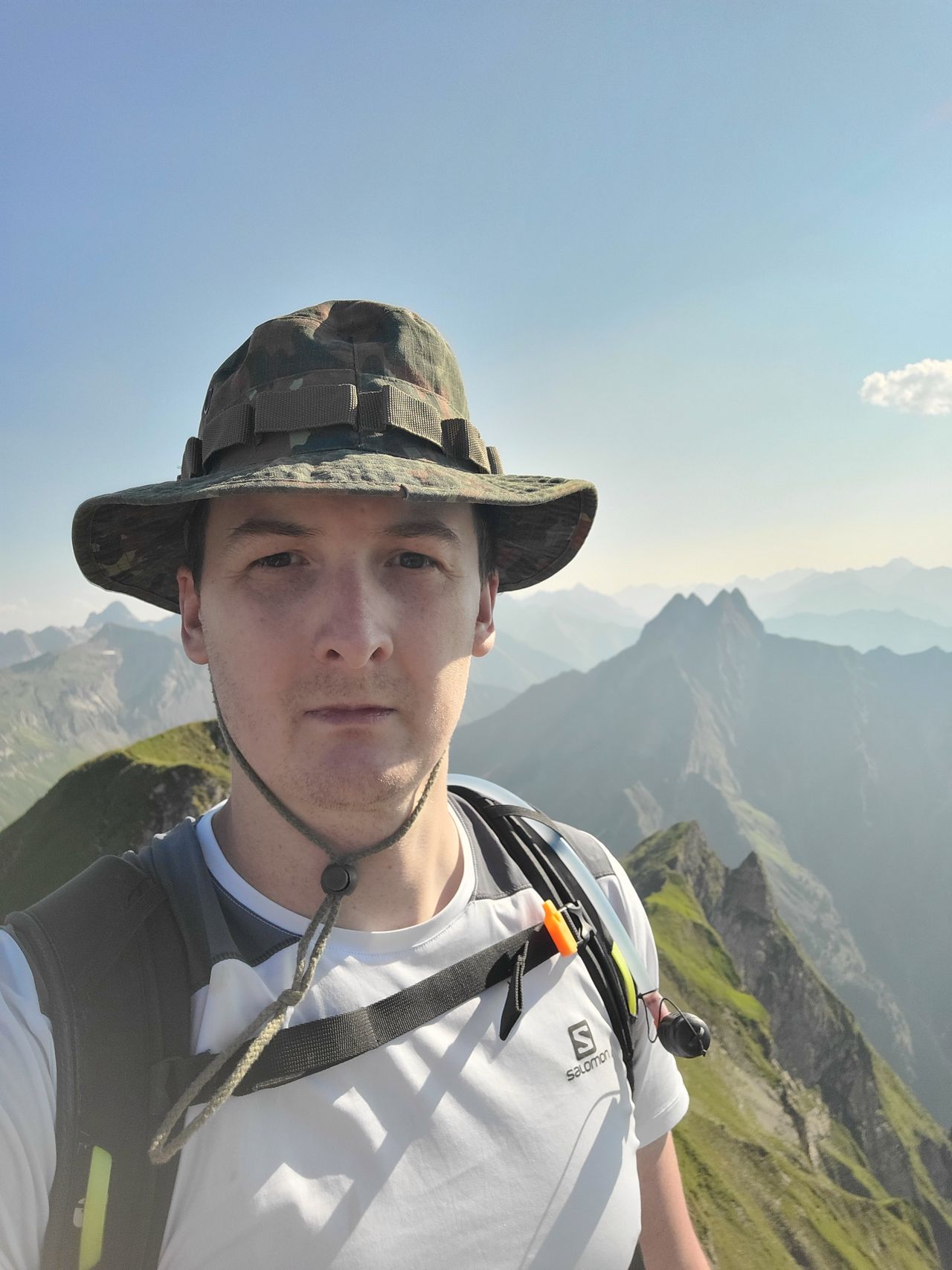
Schneck via Schattenbergkreuz, Seeköpfle, Laufbacher Eck and return via Oytal | 2268m
| Elevation gain |
| Elevation loss |
| Distance |
| Duration |
| Highest altitude |
| Rating |
Route Information
The route passes by the following peaks:
- Schattenberg (1692 m)
- Seeköpfle (1920 m)
- Westlicher Hüttenkopf (1930 m)
- Östlicher Hüttenkopf (1942 m)
- Laufbacher Eck (2178 m)
- Himmeleck (2152 m)
- Schneck Vorgipfel (2260 m)
- Schneck (2268 m)
-------
User provided description:
| Technical Difficulty | Difficult | |||||||||||
|---|---|---|---|---|---|---|---|---|---|---|---|---|
| Gear | Hiking Boots , Hiking Poles | |||||||||||
| Popularity | 1 | |||||||||||
Route statistics
| Highest point | 2268m | |||||||||||
|---|---|---|---|---|---|---|---|---|---|---|---|---|
| Total gain | 2156m | |||||||||||
| Total loss | 2154m | |||||||||||
| Duration | 16h47m | |||||||||||
| Distance | 32.2Km | |||||||||||
| Rating | 2531 | |||||||||||
Best Season
Forecast
Author