Uploading...
Overall progress...
0%
File progress...
0%
Edit event: [CH] Haldensteiner Calanda
T4 - [CH] Haldensteiner Calanda
 Organized by:
Route
Calanda
| Elevation gain |
| Elevation loss |
| Distance |
| Duration |
| Highest altitude |
| Rating |
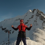
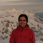
Gallery
Participants
You need to be logged in to see the participants
Weather
°
°
°
°
Description
Hoi camping hikers :)
Let's enjoy the good weather this Sunday and do a Graubünden classic, Haldensteiner Calanda.
Route:
From Vättis up to Haldensteiner Calanda [T4], and down to Haldenstein [T2-3]. 18,8km 1913m up and 2295m down.
Pace: Moderate pace, check the gpx file, we should do it in about 8h.
Meeting point: Vättis dorf bus stop at 9:17.
What to bring: Good hiking shoes and clothing, water, food, and anything else you might need.
Disclaimer
I'm not a professional guide, nor is this a guided tour, but a group of people hiking together. You're responsible for yourself and your own safety. Make sure you come prepared.
Comments
Max
8 months ago
You should post that in the Whatsapp group: "Alpine Hikes"
0
|
0
Hugo
8 months ago
I don't know that group chat
0
|
0

Bart van Oerle
8 months ago
Maybe you could do it, Max!
1
|
0
Max
8 months ago
Done already Bart :-)
1
|
0
Hugo
8 months ago
WhatsApp group chat, for last minute messages and picture sharing:
https://chat.whatsapp.com/DHUq4zAkoWb2cec7aYH2iN?mode=r_t
1
|
0