Uploading...
Overall progress...
0%
File progress...
0%
Edit event: Hochfelln [16.5 Km, 986 m gain]
T3 - Hochfelln [16.5 Km, 986 m gain]
 Organized by:
Route
Hochfelln
| Elevation gain |
| Elevation loss |
| Distance |
| Duration |
| Highest altitude |
| Rating |
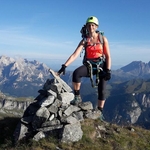
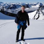
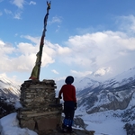
Gallery
Participants
You need to be logged in to see the participants
Weather
°
°
°
°
Description
I am repeating this event, thanks to Ajay Verma for the route and the description.
We may deviate from the route depending on the conditions.
Public transport: We will take the M79009 train departing at 7:56 am, which will arrive Traunstein at 9:14 am. From here, we take RB27513 departing at 9:20 am. Finally, we arrive Ruhpolding at 9:42 am. This is the start and end point of our hike.
Departure time of return connection: 17:12 (1h54m), 17:48 (2h18m), 18:48 (2h27m)
Technical difficulty: The hike has difficulty T3, and the last part is steep. Please read the blog to understand the requirements for sac scale T3. Due to snow, the route will feel more exhausting.
We may stop at Hochfellnhaus for a late lunch. However, this is already at the peak, so bring enough food/drink for the whole day to avoid starvation/dehydration. We expect a cloudy sky, with possibility of light rain in the late afternoon. Please check the weather updates here and come well prepared (waterproof jacket and pants).
Things to bring:
- Waterproof hiking boots
- Cash for the ticket (11 - 16 Euro), and for the food at the hut
- Food/drinks for the way
- Warm clothes
- Gaiters (required)
- Spikes (highly recommended)
- Headlight (just in case)
- Some tolerance for snowy and rainy weather
Note: Please unjoin the event well in advance, if you don't plan to come. You cannot unjoin the event, when it is starting in less than 12 hours.
Disclaimer: I am not responsible for you, if anything happens to you.
Comments
Veronica Basso
6 years ago
Hello guys! Looking forward for tomorrow! For any communications my whatsapp number is +33785329831. See you soon :)
2
|
0
Veronica Basso
6 years ago
Hello to everyone. I got some advice that these route is more indicated for a winter hike to Hochfelln: please note the change in the elevation gain (1300 m instead of 1000). https://www.hiking-buddies.com/routes/routes_list/1487/
0
|
0
Veronica Basso
6 years ago
Ok the route has been finalized :) here you are: https://www.hiking-buddies.com/routes/routes_list/1487/ The elevation gain is about the same as the route in this event. See you tomorrow!
1
|
0

Sachin Keely
6 years ago
Thanks for the info!
0
|
0
Stefan Victor
6 years ago
More snow is always nice. See you guys tomorrow!
0
|
0
Danial Tayari
6 years ago
Just noticed, this is a ski touring way. Let's see how much snow is there.
0
|
0