Uploading...
Overall progress...
0%
File progress...
0%
Edit event: Großer Rauher kopf - Bannkopf [T4 , (I)]
T2 - Großer Rauher kopf - Bannkopf [T4 , (I)]
 Organized by:
Route
Großer Rauher kopf - Bannkopf
| Elevation gain |
| Elevation loss |
| Distance |
| Duration |
| Highest altitude |
| Rating |
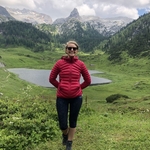
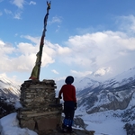
Gallery
Participants
You need to be logged in to see the participants
Weather
°
°
°
°
Description
Note the meeting point is Ostbahnhof.
Medium pace
Go through the route and read the route description.
It is a T4 hike with several level (I) scrambling parts. Some of the parts are secured with cable.
The trail from Großer Rauher Kopf to Bannkopf is not being used so often.
Hike has beautiful views of Hoher Göll, Watzmann and Hochkalter.
Things to bring:
- Your train ticket
- ID and passport in case of police check at Freilassing.
- Hiking boots/trail running shoes
- Food/drinks for the whole day.
- Rain jacket
- Good mood
Note: Please unjoin the event well in advance, if you don't plan to come. You cannot unjoin the event, when it is starting in less than 12 hours.
Disclaimer: Hiking can be dangerous. I am not a mountain guide. Everybody is responsible for her/himself. Make yourself familiar with the route and its requirements. It's recommended to download a map and bring a cell phone and first aid kit for emergencies.
Comments
Cristina Ghe
2 years ago
Hi Danial, Is it ok if I come directly from HBF with the same first train? It's much closer to me. Thanks!
0
|
0
Danial Tayari
2 years ago
Yes
1
|
0
Cristina Ghe
2 years ago
First wagon of the train. Have seats for all
0
|
0