From Mitteralm to Wendelstein | 1838m
| Elevation gain |
| Elevation loss |
| Distance |
| Duration |
| Highest altitude |
| Rating |
Route Information
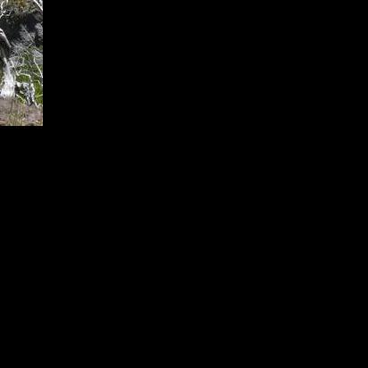
Shorter version of reaching Wendelstein. Taking Cable train to the middle (Mitteralm), hike to the top Wendelstein and do a circle route back to Mitteralm (or alternative returning to parking lot of Cable train on foot).
Automatic direction calculation (experimental feature, please provide feedback)
By car: Navigate using Google maps
By public transport:
Train station near start point: Mitteralm (0.0 Km from start point)
Bus stop near start point: Unteres Sudelfeld (2736 m from start point)
------
Automatic hut detection (experimental feature, please provide feedback)
Mitteralm (1200 m):
Website: Homepage
Phone: +49 8034 2760
Opening hours: Mo off
Location: Google maps
Wendelsteinhaus (1724 m):
Website: Homepage
Phone: +49 (0) 80 23/404
Location: Google maps
------
| Technical Difficulty | Easy | |||||||||||
|---|---|---|---|---|---|---|---|---|---|---|---|---|
| Gear | Hiking Boots | |||||||||||
| Popularity | 1 | |||||||||||
Route statistics
| Highest point | 1838m | |||||||||||
|---|---|---|---|---|---|---|---|---|---|---|---|---|
| Total gain | 713m | |||||||||||
| Total loss | 716m | |||||||||||
| Duration | 03h12m | |||||||||||
| Distance | 7.9Km | |||||||||||
| Rating | 792 | |||||||||||
Best Season
Forecast
Author