Spitzing reibn reverse | 1884m
| Elevation gain |
| Elevation loss |
| Distance |
| Duration |
| Highest altitude |
| Rating |
Route Information
Classic trail run around the Spitzingsee over 10 summits.
Normal trailrunning gear, 1L water, some energy bars or gels, there are a few huts on the way where you can stop for cappuccino.
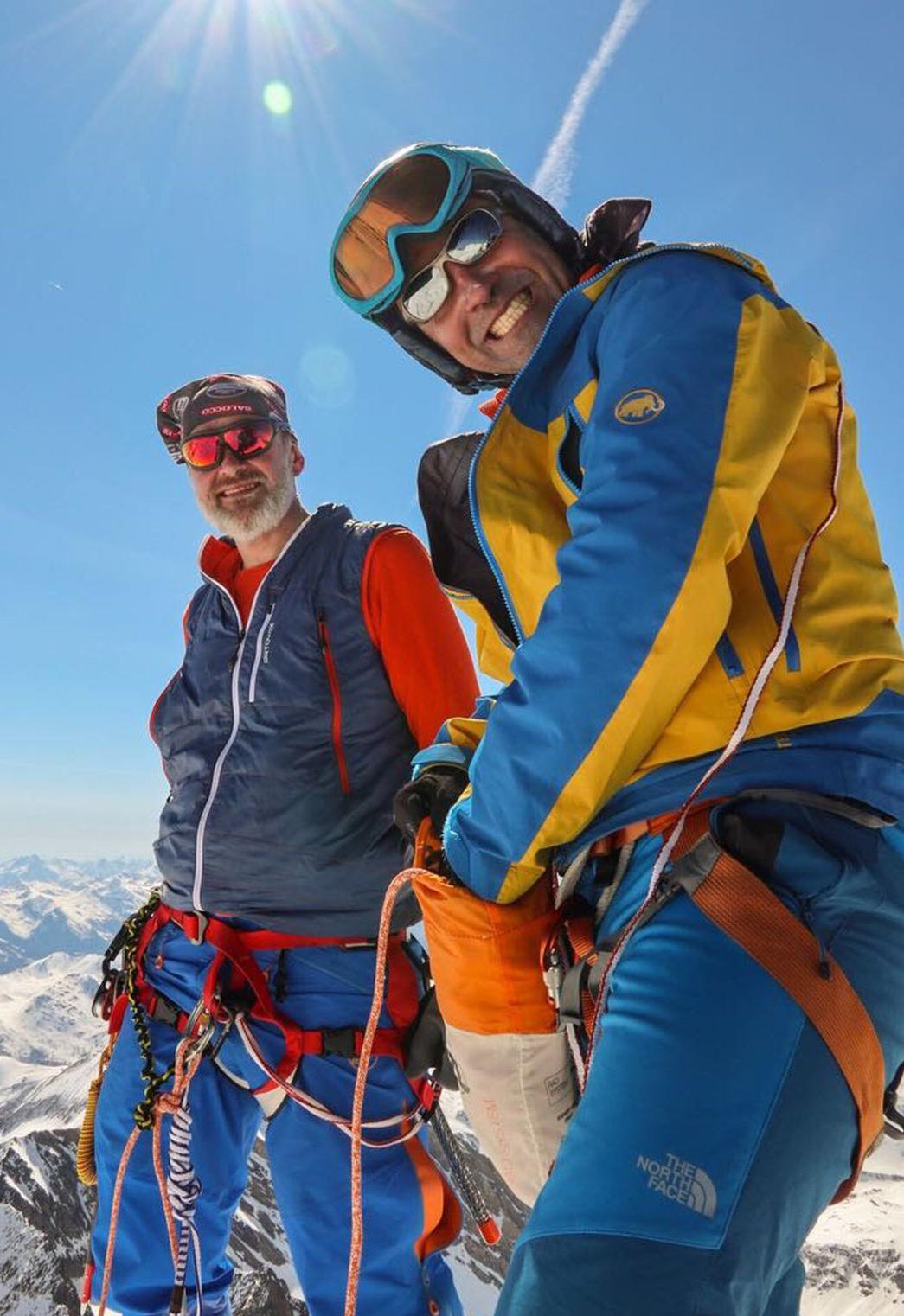
There is one steep step in the ostgrat at the beginning. It has very large steps and is not difficult but a little bit exposed (see photo).
Depending on the time of the year bring a headlamp in case you need to finish in the dark.
Automatic direction calculation (experimental feature, please provide feedback)
By car: Navigate using Google maps
By public transport:
Train station near start point: Fischhausen-Neuhaus (3.9 Km from start point)
Bus stop near start point: Spitzingsattel (62 m from start point)
Bus stop near start point: Josefstal Abzweig Tanzeckstraße (2644 m from start point)
------
Automatic hut detection (experimental feature, please provide feedback)
Obere Firstalm (1375 m):
Website: Homepage
Phone: +4980267302
Location: Google maps
Stümpfling Alm
Location: Google maps
Albert-Link-Hütte (1053 m):
Phone: +49802671264
Wikipedia: Wikipedia page
Location: Google maps
Rotwandhaus (1737 m):
Phone: +49-8026-7683;+43-664-1645290
Location: Google maps
Schönfeldhütte (1410 m):
Website: Homepage
Phone: +4980267496
Wikipedia: Wikipedia page
Location: Google maps
------
| Technical Difficulty | Medium Difficult | |||||||||||
|---|---|---|---|---|---|---|---|---|---|---|---|---|
| Gear | ||||||||||||
| Popularity | 1 | |||||||||||
Route statistics
| Highest point | 1884m | |||||||||||
|---|---|---|---|---|---|---|---|---|---|---|---|---|
| Total gain | 1970m | |||||||||||
| Total loss | 1970m | |||||||||||
| Duration | 11h50m | |||||||||||
| Distance | 25.4Km | |||||||||||
| Rating | 1858 | |||||||||||
Best Season
Forecast
Author