Breithorn via SW-Grat (T6 II) | 2413m
| Elevation gain |
| Elevation loss |
| Distance |
| Duration |
| Highest altitude |
| Rating |
Route Information
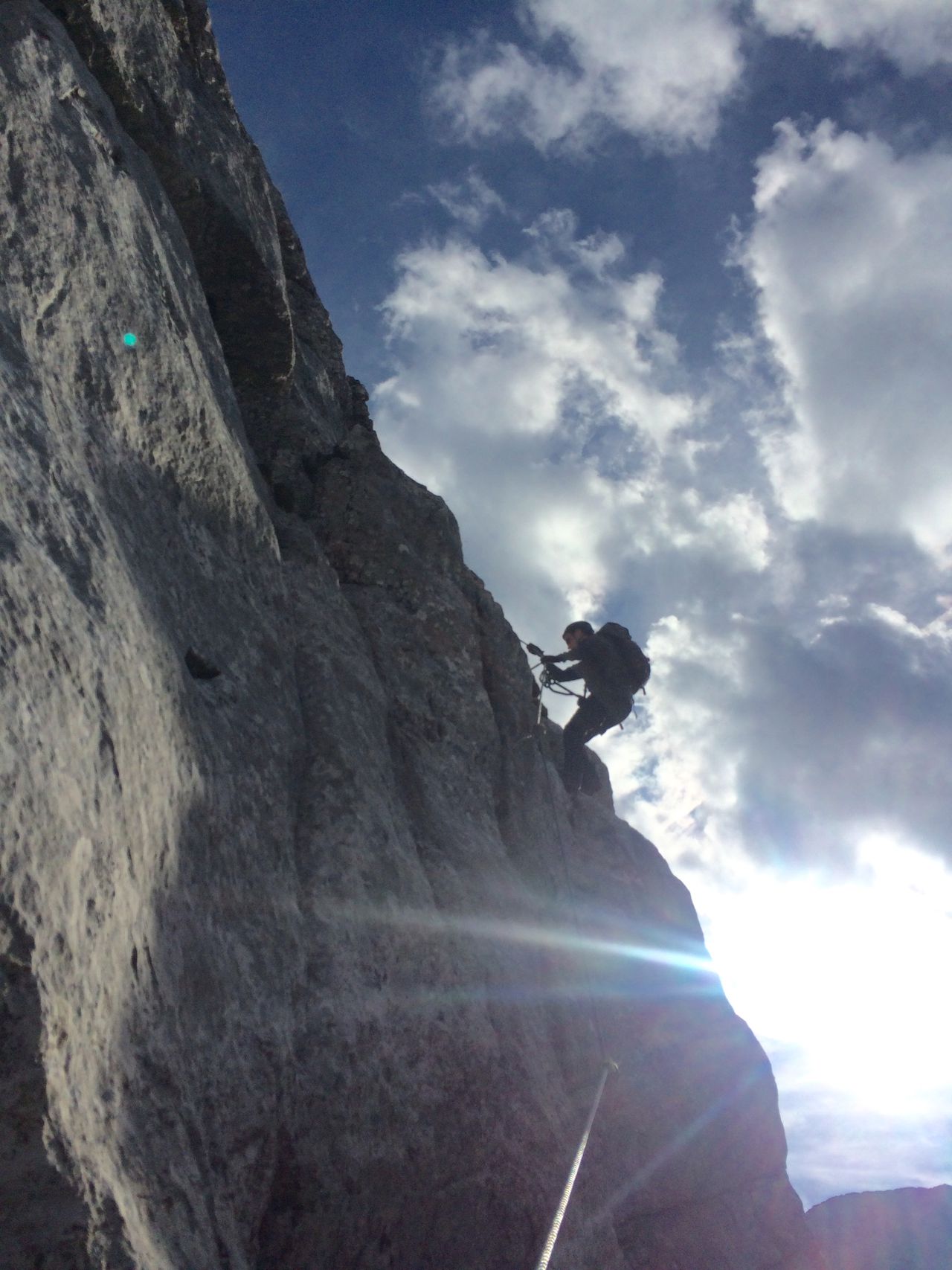
Interesting summit, rarely visited. Route unmarked, climbing grade I and II. Helmet highly recommended!
Automatic direction calculation (experimental feature, please provide feedback)
By car: Navigate using Google maps
By public transport:
Train station near start point: Hochfilzen (11.4 Km from start point)
Bus stop near start point: Lofer Hochtal (1651 m from start point)
Bus stop near start point: Waidring Pass Strub (1859 m from start point)
------
Automatic hut detection (experimental feature, please provide feedback)
Schmidt-Zabierow Hütte
Location: Google maps
------
| Technical Difficulty | Very Difficult | |||||||||||
|---|---|---|---|---|---|---|---|---|---|---|---|---|
| Gear | Helmet | |||||||||||
| Popularity | 1 | |||||||||||
Route statistics
| Highest point | 2413m | |||||||||||
|---|---|---|---|---|---|---|---|---|---|---|---|---|
| Total gain | 1634m | |||||||||||
| Total loss | 1634m | |||||||||||
| Duration | 04h49m | |||||||||||
| Distance | 11.1Km | |||||||||||
| Rating | 1627 | |||||||||||
Best Season
Forecast
Author