Schneidjoch | 1811m
| Elevation gain |
| Elevation loss |
| Distance |
| Duration |
| Highest altitude |
| Rating |
Route Information
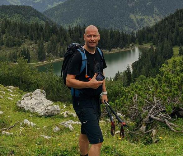
Really nice hike. Sometimes you have to go freestyle, because there is no visible way...
Automatic direction calculation (experimental feature, please provide feedback)
By car: Navigate using Google maps
By public transport:
Train station near start point: Achensee Schiffstation (14.1 Km from start point)
Bus stop near start point: Achenkirch Abzw Gufferthütte (42 m from start point)
Bus stop near start point: Steinberg a. R. Waldfrieden (1520 m from start point)
------
No Huts
| Technical Difficulty | Easy | |||||||||||
|---|---|---|---|---|---|---|---|---|---|---|---|---|
| Gear | ||||||||||||
| Popularity | 0 | |||||||||||
Route statistics
| Highest point | 1811m | |||||||||||
|---|---|---|---|---|---|---|---|---|---|---|---|---|
| Total gain | 846m | |||||||||||
| Total loss | 846m | |||||||||||
| Duration | 05h20m | |||||||||||
| Distance | 14.7Km | |||||||||||
| Rating | 1039 | |||||||||||
Best Season
Forecast
Author