Rumer Spitze (T6 + II+) | 2454m
| Elevation gain |
| Elevation loss |
| Distance |
| Duration |
| Highest altitude |
| Rating |
Route Information
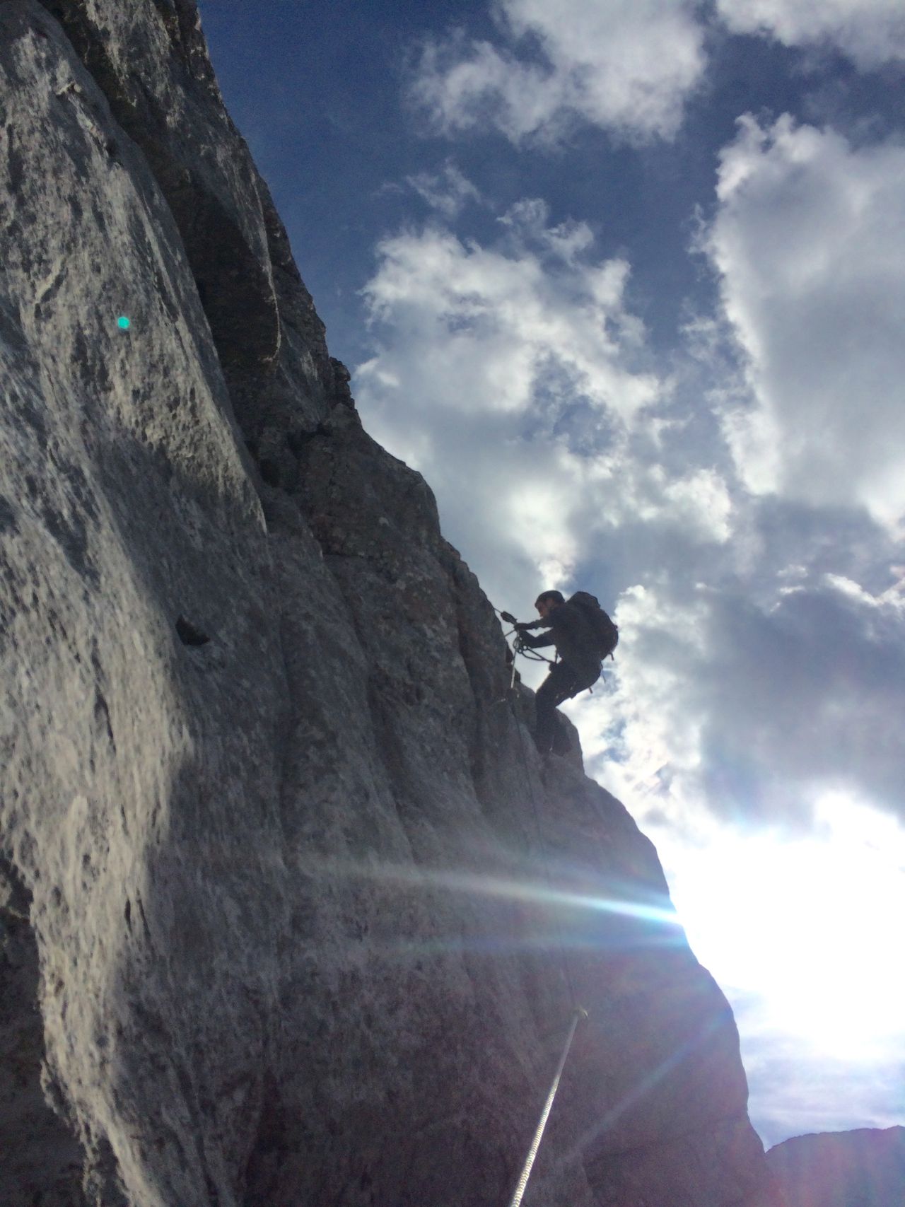
Beautiful ridge traverse with stunning views, but VERY exposed. Absolute sure-footedness and head for heights required. Only recommended with ideal weather conditions.
Good summit for a multi-day hut tour, e.g. via Pfeishütte and/or Bettelwurfhütte.
Automatic direction calculation (experimental feature, please provide feedback)
By car: Navigate using Google maps
By public transport:
Train station near start point: Hungerburg (1.3 Km from start point)
Bus stop near start point: Mühlau Hauptplatz (780 m from start point)
Bus stop near start point: Mühlenweg (838 m from start point)
------
Automatic hut detection (experimental feature, please provide feedback)
Vintl Alm (1587 m):
Location: Google maps
Rumer Alm (1243 m):
Website: Homepage
Opening hours: Mo-Tu,Th-Su 10:00-21:00
Location: Google maps
------
| Technical Difficulty | Very Difficult | |||||||||||
|---|---|---|---|---|---|---|---|---|---|---|---|---|
| Gear | Hiking Boots , Helmet | |||||||||||
| Popularity | 0 | |||||||||||
Route statistics
| Highest point | 2454m | |||||||||||
|---|---|---|---|---|---|---|---|---|---|---|---|---|
| Total gain | 1734m | |||||||||||
| Total loss | 1734m | |||||||||||
| Duration | 07h00m | |||||||||||
| Distance | 13.2Km | |||||||||||
| Rating | 1655 | |||||||||||
Best Season
Forecast
Author