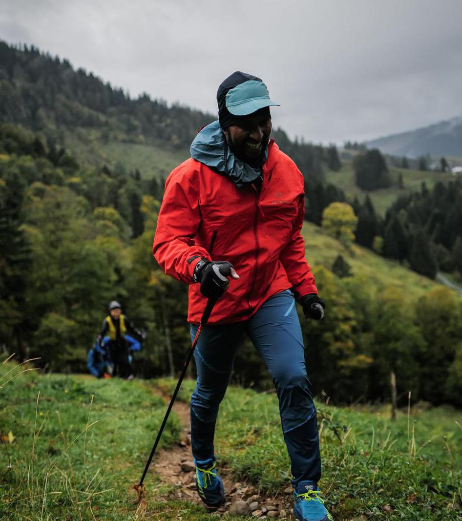
Lenggries to Kochelsee via Benediktwand | 1800m
| Elevation gain |
| Elevation loss |
| Distance |
| Duration |
| Highest altitude |
| Rating |
Route Information
(No description available)
Automatic direction calculation (experimental feature, please provide feedback)
By car: Navigate using Google maps
By public transport:
Train station near start point: Lenggries (0.0 Km from start point)
Bus stop near start point: Lenggries Bahnhof (26 m from start point)
Train station near end point: Kochel (0.1 Km from end point)
Bus stop near end point: Kochel Bahnhof (44 m from end point)
Route ref: 9608
------
Automatic hut detection (experimental feature, please provide feedback)
Brauneck-Gipfelhaus (1540 m):
Website: Homepage
Phone: +49 8042 8786
Wikipedia: Wikipedia page
Location: Google maps
------
| Technical Difficulty | Medium | |||||||||||
|---|---|---|---|---|---|---|---|---|---|---|---|---|
| Gear | ||||||||||||
| Popularity | 0 | |||||||||||
Route statistics
| Highest point | 1800m | |||||||||||
|---|---|---|---|---|---|---|---|---|---|---|---|---|
| Total gain | 1511m | |||||||||||
| Total loss | 1584m | |||||||||||
| Duration | 09h08m | |||||||||||
| Distance | 22.4Km | |||||||||||
| Rating | 1449 | |||||||||||
Best Season
Forecast
Author