Friulan Dolomites - Multi Day Tour | 2305m
| Elevation gain |
| Elevation loss |
| Distance |
| Duration |
| Highest altitude |
| Rating |
Route Information
4-5 day tour in one of the most beautiful and yet untouched areas of the Dolomites. T3 for the most part, some bits slightly more difficult and navigation isn't always straight forward, so definitely bring maps and GPS.
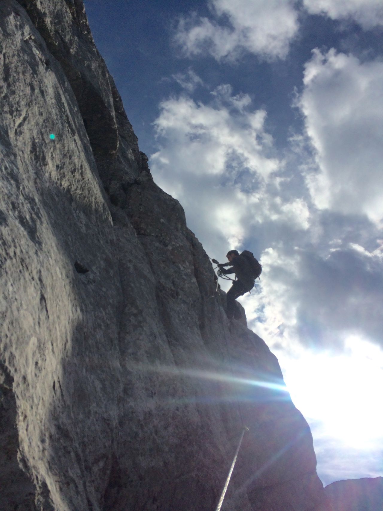
There are several optional summits along the way, up to UIAA III+. No via ferratas.
The huts along the way serve some food that is completely out of this world. ;)
Automatic direction calculation (experimental feature, please provide feedback)
By car: Navigate using Google maps
By public transport:
Train station near start point: Calalzo - Pieve di Cadore - Cortina (11.7 Km from start point)
------
Automatic hut detection (experimental feature, please provide feedback)
Rifugio Giaf (1400 m):
Location: Google maps
Rifugio Nino Flaiban e Fabio Pacherini (1587 m):
Location: Google maps
Rifugio Pordenone (1249 m):
Website: Homepage
Phone: +39 0427 87300
Wikipedia: Wikipedia page
Location: Google maps
Rifugio Padova
Location: Google maps
------
| Technical Difficulty | Medium | |||||||||||
|---|---|---|---|---|---|---|---|---|---|---|---|---|
| Gear | Hiking Boots , Hiking Poles | |||||||||||
| Popularity | 0 | |||||||||||
Route statistics
| Highest point | 2305m | |||||||||||
|---|---|---|---|---|---|---|---|---|---|---|---|---|
| Total gain | 5037m | |||||||||||
| Total loss | 5037m | |||||||||||
| Duration | 28h29m | |||||||||||
| Distance | 45.0Km | |||||||||||
| Rating | 4157 | |||||||||||
Best Season
Forecast
Author