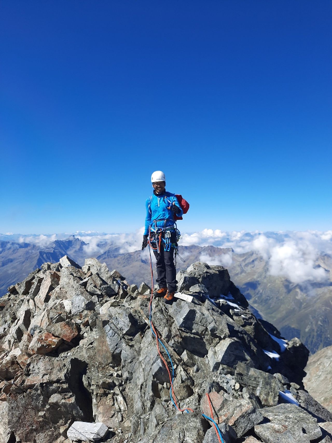
Kufsteiner KS + Hackenköpfe | 2260m
| Elevation gain |
| Elevation loss |
| Distance |
| Duration |
| Highest altitude |
| Rating |
Route Information
(No description available)
Automatic direction calculation (experimental feature, please provide feedback)
By car: Navigate using Google maps
By public transport:
Train station near start point: Kufstein (0.1 Km from start point)
Bus stop near start point: Kufstein Bahnhof (0 m from start point)
Bus stop near start point: Kufstein Stadtwerke (275 m from start point)
------
Automatic hut detection (experimental feature, please provide feedback)
Gasthaus Veitenhof (724 m):
Website: Homepage
Phone: +43 5372 63415
Location: Google maps
Pfandlhof
Location: Google maps
Hinterkaiserhof
Phone: +43 5372 62574
Location: Google maps
Anton-Karg-Haus (829 m):
Website: Homepage
Phone: +43 5372 62578
Wikipedia: Wikipedia page
Location: Google maps
Kaindlhütte (1293 m):
Website: Homepage
Phone: +49 174 8067449
Wikipedia: Wikipedia page
Location: Google maps
Weinbergerhaus (1272 m):
Website: Homepage
Phone: +43 5372 65148
Opening hours: May-Oct 10:00+
Wikipedia: Wikipedia page
Location: Google maps
Aschenbrenner (1135 m):
Website: Homepage
Phone: +43 5372 62220
Location: Google maps
------
| Technical Difficulty | Difficult | |||||||||||
|---|---|---|---|---|---|---|---|---|---|---|---|---|
| Gear | Klettersteig Set , Helmet , Gloves | |||||||||||
| Popularity | 0 | |||||||||||
Route statistics
| Highest point | 2260m | |||||||||||
|---|---|---|---|---|---|---|---|---|---|---|---|---|
| Total gain | 2270m | |||||||||||
| Total loss | 2270m | |||||||||||
| Duration | 15h29m | |||||||||||
| Distance | 31.4Km | |||||||||||
| Rating | 2491 | |||||||||||
Best Season
Forecast
Author