Pyramidenspitze 1997m via Grinnerkopf 1870 m und Elferkogel 1916 m | 1998m
| Elevation gain |
| Elevation loss |
| Distance |
| Duration |
| Highest altitude |
| Rating |
Route Information
https://www.hikr.org/tour/post86314.html
GPS useful, the path through the forrest is badly marked and easy to lose (especially in Herbst - covered by leaves). Higher up through the rocks with good marks (ret dots), then no path up to Grinnerkopf (but not difficult). Between Grinnerkopf and Elferkogel I had to improvise ;)
Jovenspitze (1892 m) can be climbed on the way down from Pyramidenspitze. However, the entry point is very tricky to find without the GPS. The way to the top is unmarked and without any path, requires experience and very dry conditions.
It is a beautiful and varied route, its weakest link is the 250 ascent towards the end.
Automatic direction calculation (experimental feature, please provide feedback)
By car: Navigate using Google maps
By public transport:
Train station near start point: Kiefersfelden (6.6 Km from start point)
Bus stop near start point: Walchsee Durchholzen (1411 m from start point)
------
Via-ferrata set is not needed.
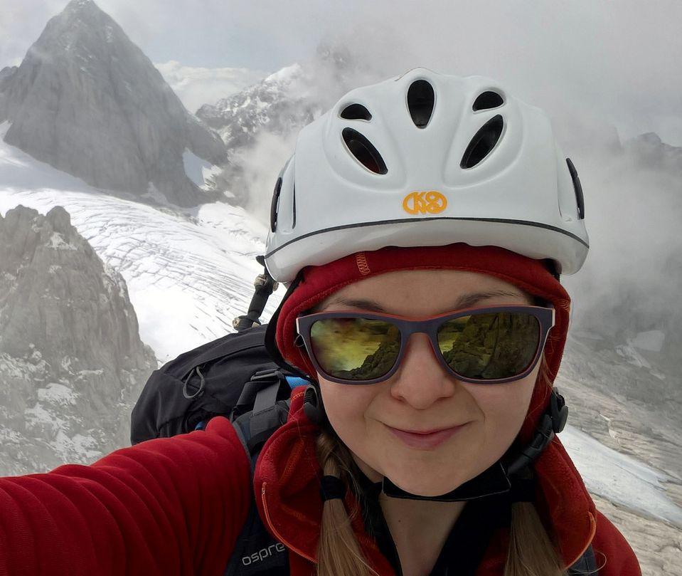
Helmet always recommended.
| Technical Difficulty | Medium Difficult | |||||||||||
|---|---|---|---|---|---|---|---|---|---|---|---|---|
| Gear | Helmet , Gloves | |||||||||||
| Popularity | 2 | |||||||||||
Route statistics
| Highest point | 1998m | |||||||||||
|---|---|---|---|---|---|---|---|---|---|---|---|---|
| Total gain | 1272m | |||||||||||
| Total loss | 1272m | |||||||||||
| Duration | 05h15m | |||||||||||
| Distance | 10.5Km | |||||||||||
| Rating | 1198 | |||||||||||
Best Season
Forecast
Author