Berchtesgadener Hochthron – Stöhrhaus - Via Ferrata D | 1972m
| Elevation gain |
| Elevation loss |
| Distance |
| Duration |
| Highest altitude |
| Rating |
Route Information
Starting point of the tour:
Marktschellenberg, hiking car park Rossboden, (775 m,) in the district of Ettenberg
Destination of the tour:
Marktschellenberg, hiking car park Rossboden, (775 m,) in the district of Ettenberg
description
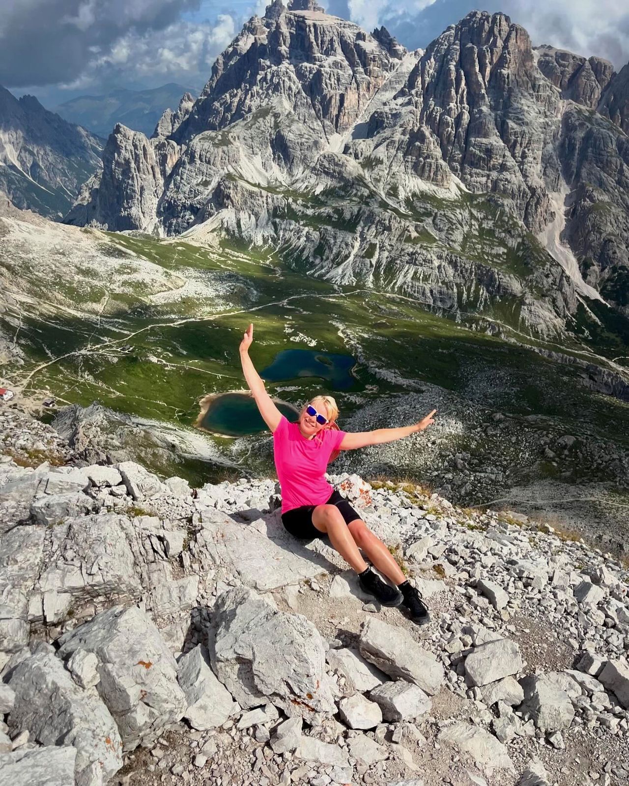
Built in 2006 by an initiative of local climbers and now run by the Berchtesgaden section, the via ferrata has become one of the most popular climbing routes in the Eastern Alps. The trail has been very elegantly placed through the steep rock face and has numerous exposed, demanding passages. There is also the fantastic view of the Berchtesgaden mountains.
Directions
From Rossboden , Route 466 leads to Scheibenkaser, Right past the hut a good path crosses through a pine field. About a debris field to reach the Anseilplatz after about 2 ½ hours. Now you climb the wall foot along to the entrance. Following the cable insurance, you go up a rocky ledge diagonally up to a ramp (B). Anyone who has problems here, should descend again, the climb is much more difficult and there is no emergency exit. Slant right following the ramp to a vertical wall step. Climb up over rough, water-eaten rock, then follow a short breezy cross-passage (C / D) to the left. A shallower terrain leads to the beginning of the "Gamsbandes", which crosses a huge ramp and leads to the "pillar". The path now runs diagonally from right to left with the help of some treads through the pillar wall (C). The next 50 meters "Genusswandl" are overcome by slabs and gullies (B / C) up to a ravine. Since the crossing from one to the other side of the ravine (10 m) is unproblematic, the steel cable is interrupted here. However, it can happen - especially in early summer - that this crossing by frozen old snow is tricky. Over a short wall (B / C) you reach the "gorge ramp". At the end of the ramp begins the most beautiful passage of the climb, the "Fotoquergang" (C). Above the steep slope you come over stepped terrain (B) to the beginning of the "Hanglschuppe". On the steel cable and on natural steps, the climbers walk about 25 meters to the left (D). Over some walls and ribbons you reach then always diagonally left ascending the "rough world" with water-eroded rock (C / D). Followed by the "Latscheneck" (C), behind it one arrives in a right-left loop to the "Wandbuch". From here, the terrain becomes grassed and less steep (B). But there is still the "exit chimney" (C) waiting, before it goes over easy terrain to the finale. From the exit one arrives to the left and follows a marked and well-trodden path on the ridge ridge following to the summit of theBerchtesgadener Hochthron . Here you can already see the Stöhrhaus that is reached from the summit in a 15-minute descent. For the descent one follows the broad one
Stöhrweg (417) to the designated branch of the Rosslandersteig (466). Under spectacular rock falls you reach the Scheibenkaser and from here on well-known way to the parking Rossboden back.
Public transportation
By public transport, the starting point is not accessible, except for ascent through Almbachklamm (very attractive, but 4 hours more time, overnight on the Stöhrhaus recommended) train to Berchtesgaden, continue with bus 840 to the stop Almbachklamm
Complete via ferrata equipment
Via Ferrata C / D, at the ascent and descent well marked climbers
| Technical Difficulty | Very Difficult | |||||||||||
|---|---|---|---|---|---|---|---|---|---|---|---|---|
| Gear | Hiking Boots , Klettersteig Set , Helmet , Gloves | |||||||||||
| Popularity | 1 | |||||||||||
Route statistics
| Highest point | 1972m | |||||||||||
|---|---|---|---|---|---|---|---|---|---|---|---|---|
| Total gain | 1188m | |||||||||||
| Total loss | 1188m | |||||||||||
| Duration | 05h03m | |||||||||||
| Distance | 10.6Km | |||||||||||
| Rating | 1209 | |||||||||||
Best Season
Forecast
Author