Fellhorn and other peaks | 2259m
| Elevation gain |
| Elevation loss |
| Distance |
| Duration |
| Highest altitude |
| Rating |
Route Information
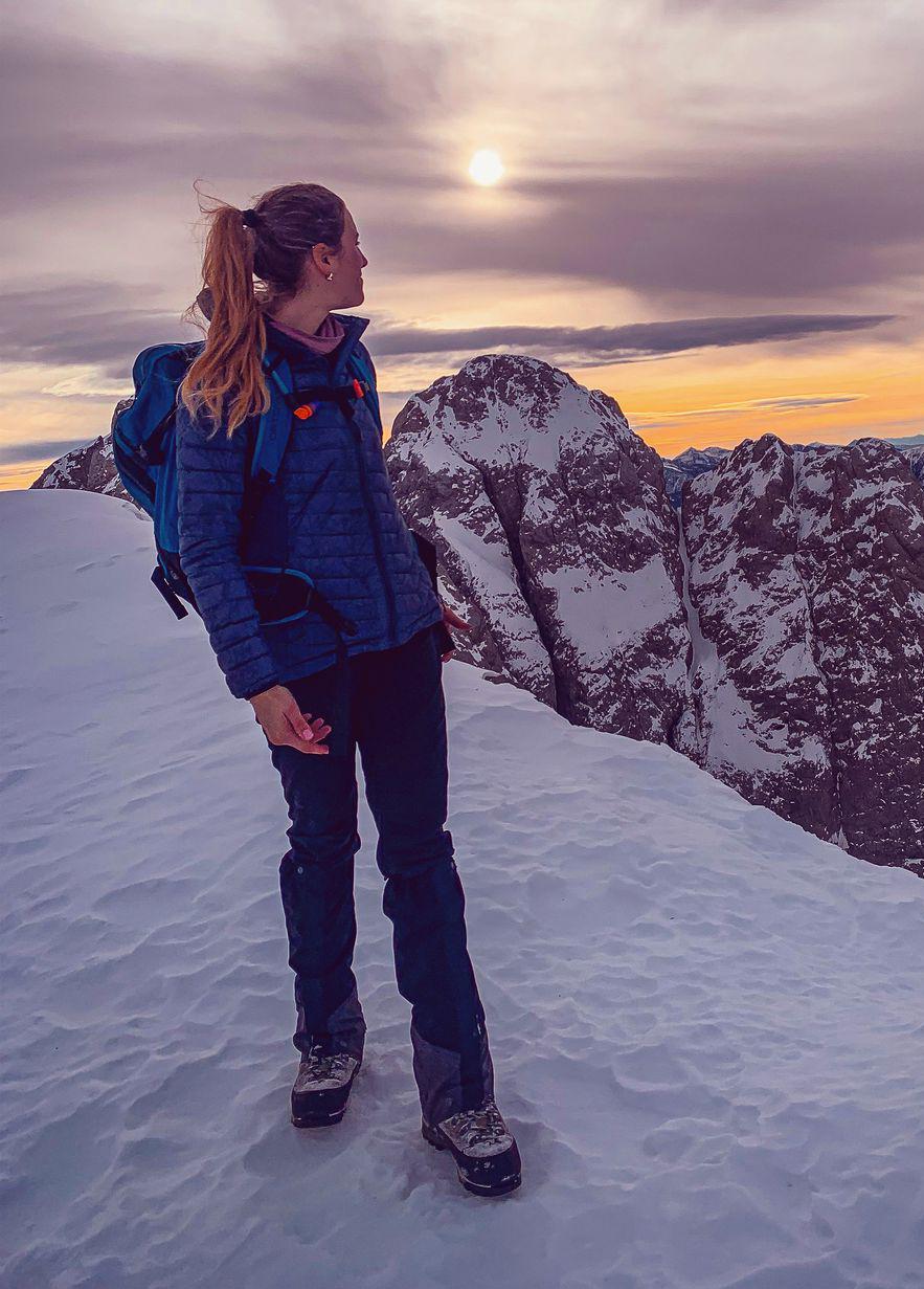
Easy way up to Fellhorn, then going along the ridge to Fiderepasshütte. Paths not marked and some climbing experience required. A lot of fun for the people who like challenging and technical terrain. There is another path from Kanzlerwand to the hut beneath the ridge for less experienced climbers.
Automatic direction calculation (experimental feature, please provide feedback)
By car: Navigate using Google maps
By public transport:
Train station near start point: Oberstdorf (6.9 Km from start point)
Bus stop near start point: Fellhornbahn Talstation (110 m from start point)
------
Automatic hut detection (experimental feature, please provide feedback)
Fiderepasshütte (2070 m):
Website: Homepage
Phone: +43-5517-20626;+43-664-320-3676
Location: Google maps
------
The ridge is only for people with climbing experience.
| Technical Difficulty | Medium Difficult | |||||||||||
|---|---|---|---|---|---|---|---|---|---|---|---|---|
| Gear | Hiking Boots , Hiking Poles , Helmet | |||||||||||
| Popularity | 0 | |||||||||||
Route statistics
| Highest point | 2259m | |||||||||||
|---|---|---|---|---|---|---|---|---|---|---|---|---|
| Total gain | 1675m | |||||||||||
| Total loss | 1675m | |||||||||||
| Duration | 09h38m | |||||||||||
| Distance | 20.7Km | |||||||||||
| Rating | 1571 | |||||||||||
Best Season
Forecast
Author