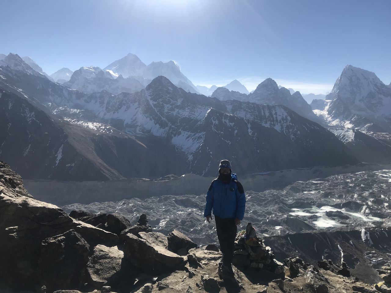
Hafelekar via Arzler Scharte and Goetheweg (Innsbruck) | 2334m
| Elevation gain |
| Elevation loss |
| Distance |
| Duration |
| Highest altitude |
| Rating |
Route Information
Hungerburg (868 m) – Arzler Alm (1064 m) – Arzler Scharte – Pfeishütte (1922 m; Optional, only if open) - Arzler Scharte – Goetheweg – Hafelekarspitze (2334 m) – Cable car back down to Hungerburg
!!! Check the last cable car down when planning the hike !!!
Shortcut:
The buddies map does not recognize the gravel path (refer to the uploaded picture).
Look out for the Arzler Scharte on the left of the road.
Altitude
difference: 1466 m
Distance: 11 km
Duration without rest: ca. 6 hours
Base station of “Seegrubenbahn”
Address:
Hungerburgweg 4, 6020 Innsbruck, Austria
Tips:
1. Check
the last cable car down when planning the hike
2. Buy
the cable car ticket at the bottom station; I was informed that they do not
sell it at the top
3. Proper
hiking boots due to the gravel. Poles recommended for stability
4. On
the steep gravel path to Arzler Scharte, if you start sinking, it means you are
off path. Always look out for the red white stripes
Driving:
If you cross
the border at Mittenwald and take the B171 instead of A12, there is no need for
a Vignette (Austrian toll sticker)
| Technical Difficulty | Difficult | |||||||||||
|---|---|---|---|---|---|---|---|---|---|---|---|---|
| Gear | ||||||||||||
| Popularity | 1 | |||||||||||
Route statistics
| Highest point | 2334m | |||||||||||
|---|---|---|---|---|---|---|---|---|---|---|---|---|
| Total gain | 1654m | |||||||||||
| Total loss | 244m | |||||||||||
| Duration | 05h38m | |||||||||||
| Distance | 11.0Km | |||||||||||
| Rating | 1280 | |||||||||||
Best Season
Forecast
Author