Thaneller is a free-standing beautifully shaped pyramid at the north-east border of the Lechtal Alps. The southern slopes of the mountain are gentle and offer an easy ascent route to the summit. But if you look at Thaneller from the north you see the second face of the mountain. The north side is a steep face with a height of up to 800m, which is quite an eye catcher. Maybe this was the reason for some people, who did the first ascent somewhen before 1800.
Because of its location, Thaneller is a magnificent view point and very popular. The views to the east and west are dominated by the rocky mountains of the Lechtal Alps and Wetterstein Gebirge. To the north the mountains become more gentle and get lower and lower. This creates a beautiful frame for the fjord-like Plansee, a lake which is quite nearby and makes the panorama from Thaneller very special. In contrast to the other directions, the view to the south provides a glimpse of the glaciated peaks of the alpine central-ridge with Wildspitze being the highest mountain visible.
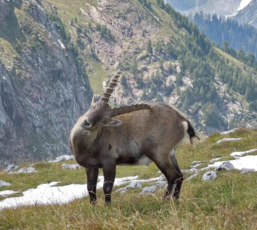
As said before, the mountain is visited frequently and if the weather is nice, you have to leave the summit a bit to find a place to sit. As on many other popular peaks there are two things to do to avoid the crowds: start early and go fast to be ahead of the others. While resting at the summit you have to take care of your food, since lots of alpine coughs are waiting for their chance to get a bit of it.
Source: https://www.summitpost.org/thaneller/505820