Gschwender Horn | 1450m
| Elevation gain |
| Elevation loss |
| Distance |
| Duration |
| Highest altitude |
| Rating |
Route Information
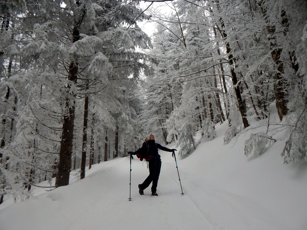
(No description available)
Automatic direction calculation (experimental feature, please provide feedback)
By car: Navigate using Google maps
By public transport:
Train station near start point: Immenstadt (0.5 Km from start point)
Bus stop near start point: Sonthofener Straße / Opel (211 m from start point)
Bus stop near start point: Hofmühle (277 m from start point)
------
Automatic hut detection (experimental feature, please provide feedback)
Alpe-Alp (1325 m):
Location: Google maps
Kemptener Naturfreundehaus
Website: Homepage
Phone: +49 8323 2123
Location: Google maps
------
| Technical Difficulty | Easy | |||||||||||
|---|---|---|---|---|---|---|---|---|---|---|---|---|
| Gear | ||||||||||||
| Popularity | 2 | |||||||||||
Route statistics
| Highest point | 1450m | |||||||||||
|---|---|---|---|---|---|---|---|---|---|---|---|---|
| Total gain | 761m | |||||||||||
| Total loss | 761m | |||||||||||
| Duration | 04h20m | |||||||||||
| Distance | 12.5Km | |||||||||||
| Rating | 909 | |||||||||||
Best Season
Forecast
Author