Soiern-Umrahmung von Krün | 2253m
| Elevation gain |
| Elevation loss |
| Distance |
| Duration |
| Highest altitude |
| Rating |
Route Information
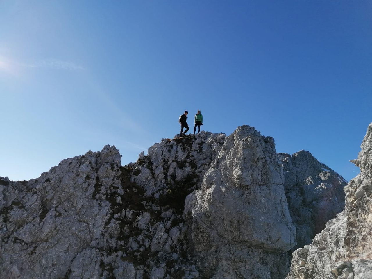
Easy hike to the highest peak in Vorkarwendel. The ridge from Schöttelkar to Soiernspitze is recommended alone for the views.
A nice bonus is the scree field descent from Soiernscharte to Soiernsee. It is in parts more a talus field than a scree field with up to 40° steepness or more. Without snow keep an eye on your fellow hikers above you to avoid falling rocks.
Snow can make it easier: "No timid steps allowed"(as freedom of the hills knows).
This path may be better prepared later in the season.
After the beautiful Lakaiensteig a rather dull descent from Fischbachalm follows - Herrsching to Kloster Andechs multiplied.
This can be avoided by parking your bike there beforehand.
Automatic direction calculation (experimental feature, please provide feedback)
By car: Navigate using Google maps
------
Automatic hut detection (experimental feature, please provide feedback)
Soiernhaus (1616 m):
Website: Homepage
Phone: +49 - 54 65 85 8
Location: Google maps
------
hiking poles recommended when wet and for the scree field
| Technical Difficulty | Medium Difficult | |||||||||||
|---|---|---|---|---|---|---|---|---|---|---|---|---|
| Gear | ||||||||||||
| Popularity | 0 | |||||||||||
Route statistics
| Highest point | 2253m | |||||||||||
|---|---|---|---|---|---|---|---|---|---|---|---|---|
| Total gain | 1677m | |||||||||||
| Total loss | 1677m | |||||||||||
| Duration | 11h20m | |||||||||||
| Distance | 24.3Km | |||||||||||
| Rating | 1722 | |||||||||||
Best Season
Forecast
Author