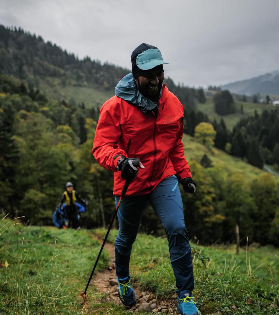
Nordlingerhutte | 2238m
| Elevation gain |
| Elevation loss |
| Distance |
| Duration |
| Highest altitude |
| Rating |
Route Information
(No description available)
Automatic direction calculation (experimental feature, please provide feedback)
By car: Navigate using Google maps
By public transport:
Train station near start point: Hochzirl (1.1 Km from start point)
Bus stop near start point: Zirl Abzw Schwimmbad (326 m from start point)
Bus stop near start point: Zirl Schwarzer Adler (899 m from start point)
Train station near end point: Scharnitz (0.3 Km from end point)
Bus stop near end point: Scharnitz Gemeindeamt (176 m from end point)
------
Automatic hut detection (experimental feature, please provide feedback)
Nördlinger Hütte (2238 m):
Website: Homepage
Phone: +436649142262
Wikipedia: Wikipedia page
Location: Google maps
Eppzirler Alm (1455 m):
Phone: +436644629211
Wikipedia: Wikipedia page
Location: Google maps
------
| Technical Difficulty | Medium | |||||||||||
|---|---|---|---|---|---|---|---|---|---|---|---|---|
| Gear | ||||||||||||
| Popularity | 0 | |||||||||||
Route statistics
| Highest point | 2238m | |||||||||||
|---|---|---|---|---|---|---|---|---|---|---|---|---|
| Total gain | 1859m | |||||||||||
| Total loss | 1513m | |||||||||||
| Duration | 11h03m | |||||||||||
| Distance | 22.9Km | |||||||||||
| Rating | 1775 | |||||||||||
Best Season
Forecast
Author