T6/II - Rinnenspitze(3003), Ridge to Blechnerkamp(2995) via Kreuzkamp(3008) | 3003m
| Elevation gain |
| Elevation loss |
| Distance |
| Duration |
| Highest altitude |
| Rating |
Route Information
Views on this route are magnificent. Starting from Rinnenspitze you have a large glacier down to your left and multiple 3000m peaks with smaller glaciers in the distance to the right.
The difficulties shown in the map are somewhat wrong. Up to Franz-Senn-Hütte the way is T2, from there to Rinnenspitze it is T4.
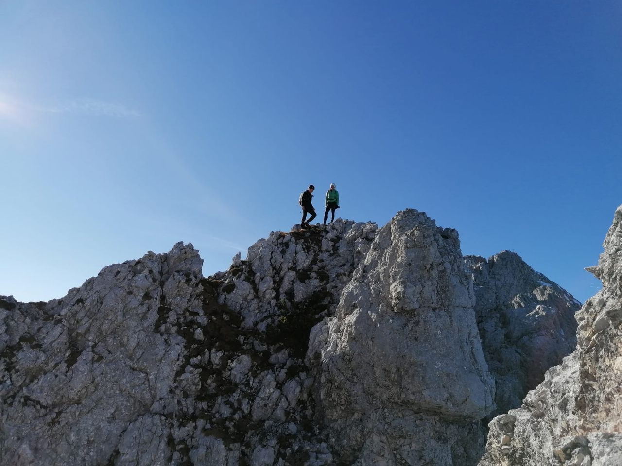
The ridge traversal is in pathless terrain with difficulties T6/II.
There is at least one III- part which can be climbed around in exposed II- Schrofen. Many sections in difficulties up to II, Most often exposed in very loose terrain. It is absolutely required to check every stone for looseness before committing body weight to it.
Some call the knife-like ridge, maybe 15 meters, the Schlüsselstelle. In my opinion the exposed climbing plus bad rock is the real danger here.
Descent from Blechnerkamp starts pathless(T5) until a hiking path is reached. There is one stone man on the entire route. It can be found on the ridge after Blechnerkamp. If you see it you missed the right descent. The least steep option is the talus field right after the peak.
Kreuzkamp and Blechnerkamp don't have a Gipfelkreuz, only some stones are piled up to point out the peak.
No via ferrata, only some parts secured by ropes in ascent of Rinnenspitze.
It doesn't hurt to bring a helmet.
| Technical Difficulty | Difficult | |||||||||||
|---|---|---|---|---|---|---|---|---|---|---|---|---|
| Gear | ||||||||||||
| Popularity | 1 | |||||||||||
Route statistics
| Highest point | 3003m | |||||||||||
|---|---|---|---|---|---|---|---|---|---|---|---|---|
| Total gain | 1371m | |||||||||||
| Total loss | 1376m | |||||||||||
| Duration | 06h42m | |||||||||||
| Distance | 13.6Km | |||||||||||
| Rating | 1230 | |||||||||||
Best Season
Forecast
Author