3 Day Karwendeltour incl. Lamsenspitze | 2508m
| Elevation gain |
| Elevation loss |
| Distance |
| Duration |
| Highest altitude |
| Rating |
Route Information
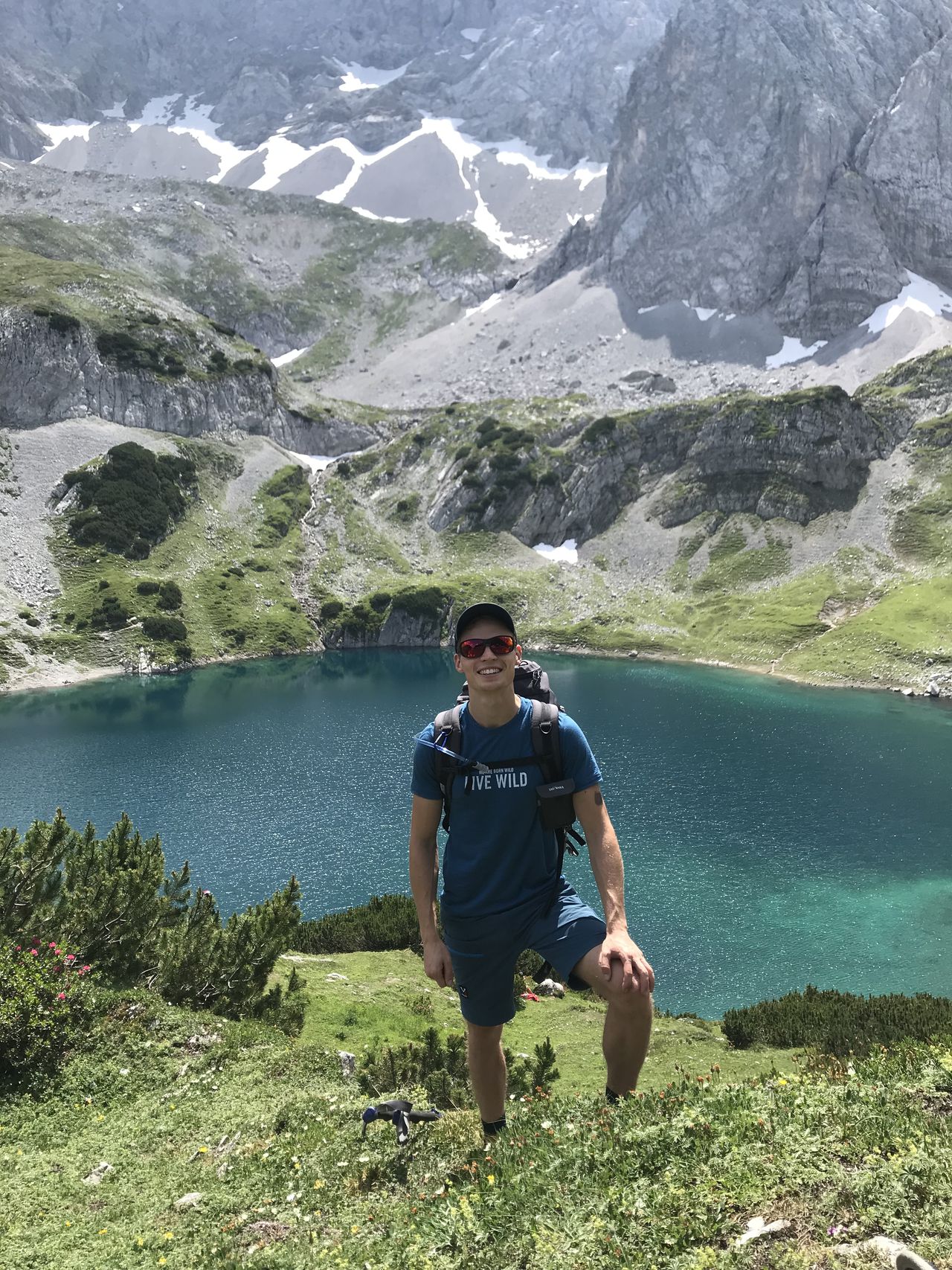
The Karwendel is one of the most stunning mountain ranges in the European Alps. Let's get on a journey crossing it all the way from Eng to Scharnitz via Lamsenspitze.
Already on the first day we reach the highest peak Lamsenspitze (2508m) along the way. After going up to Lamsenjochhuette, we leave some of our luggage there and light weight start our ascent up to the peak via the Brudertunnel Klettersteig (B/C). The Klettersteig is well secured and only step in some parts, where your climb is supported by metal steps. After the Brudertunnel we cross along the ridge to the Lamsenscharte from where another easier Klettersteig (B) leads us to the peak. Be aware that people are ascending and descending via the same way, so watch out for rock fall. And it might take a bit. After enjoy the beautiful view on the entire Karwendel range and surrounding alps we get back down to Lamsenscharte and return to Lamsenjochhuette via the Normalweg. In theory you could also get up this way if the Brudertunnel seems too challenging for you. Back at the hut we reward ourselves with drinks and food and enjoy the sunset.
On day two we get up early because we have a long way ahead. You shouldn't leave later than 8am in order to reach the next hut when they still serve dinner. We climb up the Brudertunnel Klettersteig once again, this time carrying all our stuff, which is definitely more exhausting. You might consider taking the Normalweg up this time as the distance is not significantly longer. Then, we start our long descend down into the Zwerchloch and Vomper Loch. Even though you already reached the highest peak on the first you won't get bored. The surrounding is breathtaking; massive walls to your left and right, and waterfalls and streams running down the valley. Every now and then you can have a break and cool your feed in the river's ponds. After we reach the lowest point along the way (1050m) we have to climb up to Hallerangerhaus via Ueberschalljoch (1912m) once more. In Zwerchloch there are some steep sections, Katzenleiter, secured with a metal rope. We alternating go up and down, making the hike feeling really long. After a short confusion (Halleranger Alm is not Hallerangerhaus), we are tired but pleased reaching Hallerangerhaus in the evening. The food there is delicious.
The third day is basically just a long walk (20km) along a wide forest route. Again we are surrounded by huge walls. About half the way you reach the Isar Quelle on the right, the point where the Isar river begins its journey to Munich. The way is mostly continuously descending except a few kilometers before Scharnitz. From there we take a bus to Mittenwald and reward ourselves with an ice cream.
Day 1: 8.5km, 1345hm up, 595hm down, Day1-gpx
Day 2: 16km, 1470hm up, 1647hm down, Day2-gpx
Day3: 20km, 68hm up, 870m down, Day3-gpx
Entire tour: 3d_Karwendeltour_gpx
Accommodation
Stays are at Lamsenjochhuette the first night, and Hallerangerhaus for the second night. Both huts offer Lager (dormitory) and rooms as well as Halfpension (dinner + breakfast). It is highly recommended to book in advance. DAV Hallerangerhaus is a spacious and modern hut with clean facilities. The breakfast is a buffet, they do not offer a la carte.
In theory you could also do the route reverse starting in Scharnitz but I wouldn't recommend because you would have to descend on the Klettersteig and the second day would be really intense with a lot of hight meters up to cover.
Transportation
We take the BOB train from Munich Hbf in the morning to Lenggries and continue from there with the Bergsteigerbus to Eng. Bayern Ticket covers the train and bus ride up to the German-Austrian-border. The rest to Eng costs 6,20€ per Person. On the way back from Scharnitz we took a Bus to Mittenwald (2,60€ pP) and from there the Werdenfels Ticket back to Munich Hbf. You could also go directly from Scharnitz with the Werdenfels Ticket + Innsbruck. Check the train/ bus time tables, they don't run this often.
Be aware of rock fall around Lamsenspitze!
In case of heavy rain the Klettersteig sections can get slippery.
| Technical Difficulty | Very Difficult | |||||||||||
|---|---|---|---|---|---|---|---|---|---|---|---|---|
| Gear | Klettersteig Set , Helmet | |||||||||||
| Popularity | 1 | |||||||||||
Route statistics
| Highest point | 2508m | |||||||||||
|---|---|---|---|---|---|---|---|---|---|---|---|---|
| Total gain | 2805m | |||||||||||
| Total loss | 3034m | |||||||||||
| Duration | 24h29m | |||||||||||
| Distance | 45.0Km | |||||||||||
| Rating | 3241 | |||||||||||
Best Season
Forecast
Author