Long, alpine mountain tour from the bottom of the valley to the beautiful viewpoint peak in the middle of the Stubai Alps.
Stubaier Alpen: Popular mountain tour
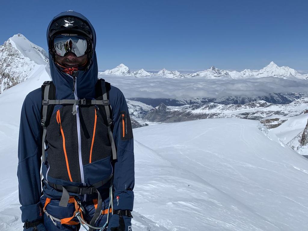
The Habicht is a very prominent peak between the Stubai and Gschnitz valleys. At first sight it is hard to believe that a technically relatively easy climb leads to this mountain. Due to its exposed position, the view in all directions is impressive. The Innsbrucker Hütte halfway up the ascent offers a welcome rest and accommodation during this tour.
While the lower half of the tour is a beautiful hike on good paths, the route above the hut is over 1000 meters of altitude difference in more demanding terrain. Some parts are steep, a bit exposed and secured with steel ropes. Therefore, it is important to plan your tour accordingly. An early start (the ascent is caught early by the sun) and safe weather (it should be dry in the upper part) allow a great mountain experience.
The car park in Obertal (1281 m) is left at its southern end to branch off to the right directly at the valley station of the material cable car for the Innsbrucker Hütte. A short asphalt road leads across the Gschnitzbach stream and immediately after that, at the crossroads, the road turns briefly to the left (passing the old farmhouse). Only about 60 metres further on, the hiking trail to the Innsbrucker Hütte goes up the edge of the forest on the right. After a few hundred metres a forest road is crossed and then the path continues uphill in numerous serpentines, always in a steep gully. At a height of about 2020 meters the "breakfast place" is reached - a bench invites you to stay on this small level. The route continues over a plateau with a brook crossing. Shortly before the Innsbrucker Hütte our ascent merges with that of Gschnitz, then comes the turnoff to the Ilmspitze and a few metres before the hut we see from the Pinnisjoch down into the Pinis and Stubaital.
Behind the hut (2370 m) we take the right path (on the left is the Bremer Hütte). Now comes a short ascent, then a somewhat flatter ridge (thought stone) and then the first rope insurance begins as we climb the Habicht. First the path roughly follows the south-eastern ridge, then there is a flat traverse on the eastern side to the remains of the small glacier. There is a path variant that leads to the summit completely free of snow. If the snowfields are crossed (a little shorter) then make sure that the conditions are suitable. The steep drop off at the end of the snow field does not allow sliding. In a wide arc it goes to the east ridge and up this one. The last meters to the summit are on the southern side of the ridge. The ascent from the hut is mainly between rocks and boulders, but is well marked.
The descent is identical with the ascent.