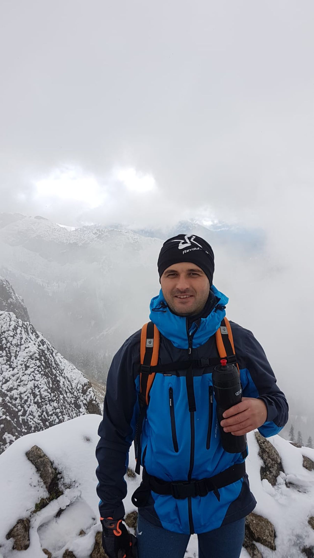
Benediktwand from Benediktbeuern | 1800m
| Elevation gain |
| Elevation loss |
| Distance |
| Duration |
| Highest altitude |
| Rating |
Route Information
(No description available)
Automatic direction calculation (experimental feature, please provide feedback)
By car: Navigate using Google maps
By public transport:
Train station near start point: Benediktbeuern (1.9 Km from start point)
Bus stop near start point: Benediktbeuern Post (1213 m from start point)
Bus stop near start point: Pechlern (1412 m from start point)
Train station near end point: Kochel (6.6 Km from end point)
------
Automatic hut detection (experimental feature, please provide feedback)
Tutzinger Hütte (1327 m):
Website: Homepage
Wikipedia: Wikipedia page
Location: Google maps
------
| Technical Difficulty | Medium | |||||||||||
|---|---|---|---|---|---|---|---|---|---|---|---|---|
| Gear | ||||||||||||
| Popularity | 1 | |||||||||||
Route statistics
| Highest point | 1800m | |||||||||||
|---|---|---|---|---|---|---|---|---|---|---|---|---|
| Total gain | 1352m | |||||||||||
| Total loss | 1352m | |||||||||||
| Duration | 07h48m | |||||||||||
| Distance | 18.4Km | |||||||||||
| Rating | 1605 | |||||||||||
Best Season
Forecast
Author