Hoher Göll: up via Purtschellerhaus and Kamin. down via Kehlstein | 2522m
| Elevation gain |
| Elevation loss |
| Distance |
| Duration |
| Highest altitude |
| Rating |
Route Information
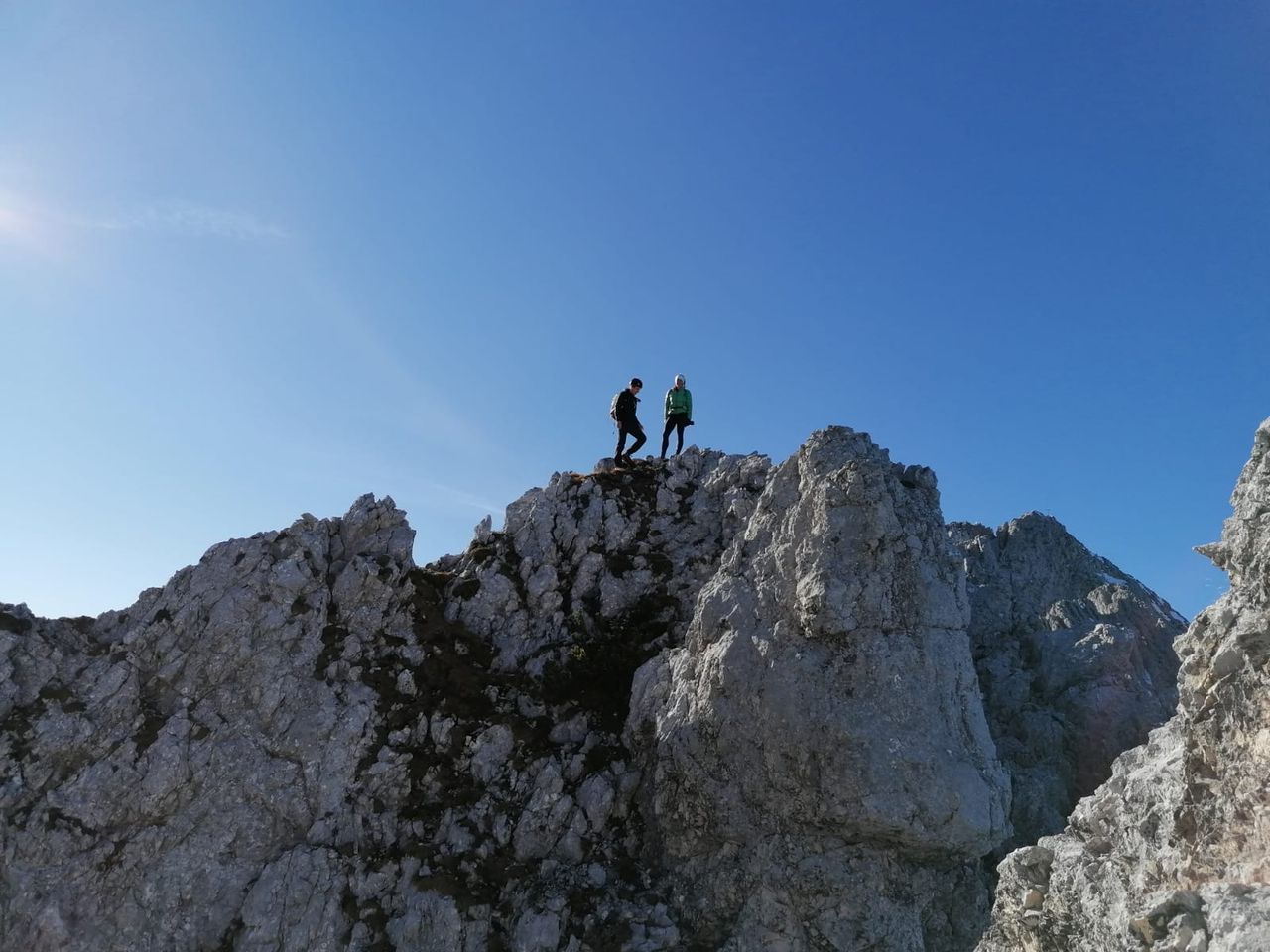
Alpine hike with moderate difficulties: T4/I exposed sections.
gpx shows(in reverse) ascent over Schustersteig, mannlsteig descent. Alternative ascent over Kamin may be more interesting.
Mannlgrat descent has steel ropes and is graded as ferrata type B/C by some sources.
Automatic direction calculation (experimental feature, please provide feedback)
By car: Navigate using Google maps
By public transport:
Train station near start point: Berchtesgaden Hauptbahnhof (4.8 Km from start point)
Bus stop near start point: Buchenhöhe (1087 m from start point)
Bus stop near start point: Klaushöhe (1196 m from start point)
------
Automatic hut detection (experimental feature, please provide feedback)
Purtschellerhaus
Website: Homepage
Phone: +4986522420
Location: Google maps
------
| Technical Difficulty | Difficult | |||||||||||
|---|---|---|---|---|---|---|---|---|---|---|---|---|
| Gear | ||||||||||||
| Popularity | 1 | |||||||||||
Route statistics
| Highest point | 2522m | |||||||||||
|---|---|---|---|---|---|---|---|---|---|---|---|---|
| Total gain | 1406m | |||||||||||
| Total loss | 1406m | |||||||||||
| Duration | 06h44m | |||||||||||
| Distance | 14.5Km | |||||||||||
| Rating | 1408 | |||||||||||
Best Season
Forecast
Author