ZS: Stopselzieher up, Gatterl down (GPX match car travel) | 2962m
| Elevation gain |
| Elevation loss |
| Distance |
| Duration |
| Highest altitude |
| Rating |
Route Information
See description: Route C up and Route B down.
(In the inner pdf, routes 3 and 2 accordingly)
https://www.alpenverein.de/bergsport/sicherheit/bergsteigen/zugspitze_aid_12915.html
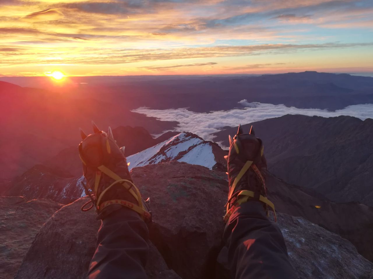
One of the known routes to ZS, the highest peak in the Wetterstein range and in Germany
GPX is modified to fit car travel, starts in a plain walk before the ascent and avoid walking through Ehrwald
*Some use KSset.
*Sun protection (head, eyes, skin).
*Water can be refilled in Wiener-NS, at the peak and on the way down at Knorr.
*Head lamp (just in case).
* Team spirit and respect to nature (mandatory)
1. Especially when hikers ahead, a helmet can protect from a brain damage.
2. I am not a mountain goat, nor a mountain guide. Join only if you have the matching experience and insurance. I use DAV membership.
| Technical Difficulty | Medium Difficult | |||||||||||
|---|---|---|---|---|---|---|---|---|---|---|---|---|
| Gear | Hiking Boots , Hiking Poles , Helmet , Gloves | |||||||||||
| Popularity | 2 | |||||||||||
Route statistics
| Highest point | 2962m | |||||||||||
|---|---|---|---|---|---|---|---|---|---|---|---|---|
| Total gain | 2172m | |||||||||||
| Total loss | 2146m | |||||||||||
| Duration | 11h58m | |||||||||||
| Distance | 23.1Km | |||||||||||
| Rating | 2003 | |||||||||||
Best Season
Forecast
Author