Ferrata Rino Costacurta al Teverone | 2162m
| Elevation gain |
| Elevation loss |
| Distance |
| Duration |
| Highest altitude |
| Rating |
Route Information
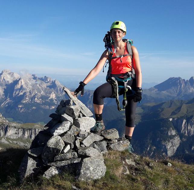
Scenic and exposed via ferrata close to Pieve d'Alpago (BL).
We followed the GPX track on the reverse direction. The track winds through rocks and grassy hills: it is advisable to wear long trousers and carefully check for the presence of ticks.
From the parking lot to the start of the via ferrata: 2.30 h.
The via ferrata goes only 150 m up but is quite long, as it goes flat for a long stretch: it can last up to 2 hours.
The descent goes through alternate grassy meadows and rocky tracks: please make sure to have proper boots and hiking poles to help stability.
For a detailed description in Italian: https://www.ferrate365.it/vie-ferrate/ferrata-costacurta-teverone/
Automatic direction calculation (experimental feature, please provide feedback)
By car: Navigate using Google maps
By public transport:
Train station near start point: Faè-Fortogna (7.9 Km from start point)
------
Automatic hut detection (experimental feature, please provide feedback)
Casera Crosetta (1166 m):
Location: Google maps
------
| Technical Difficulty | Easy | |||||||||||
|---|---|---|---|---|---|---|---|---|---|---|---|---|
| Gear | Hiking Boots , Klettersteig Set , Helmet , Gloves | |||||||||||
| Popularity | 0 | |||||||||||
Route statistics
| Highest point | 2162m | |||||||||||
|---|---|---|---|---|---|---|---|---|---|---|---|---|
| Total gain | 1343m | |||||||||||
| Total loss | 1334m | |||||||||||
| Duration | 05h04m | |||||||||||
| Distance | 12.5Km | |||||||||||
| Rating | 1092 | |||||||||||
Best Season
Forecast
Author