Untergrainau Eibsee Wanderung | 1038m
| Elevation gain |
| Elevation loss |
| Distance |
| Duration |
| Highest altitude |
| Rating |
Route Information
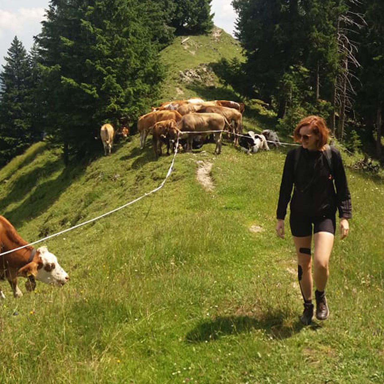
Easy hike to Eibsee
*a special ticket needed for a trip from Eibsee
Automatic direction calculation (experimental feature, please provide feedback)
By car: Navigate using Google maps
By public transport:
Train station near start point: Untergrainau (0.1 Km from start point)
Bus stop near start point: Grainau, Gungl Stubn (253 m from start point)
Bus stop near start point: Grainau, Höllentalstraße (1172 m from start point)
Train station near end point: Eibsee (0.3 Km from end point)
Bus stop near end point: Eibsee (105 m from end point)
------
| Technical Difficulty | Easy | |||||||||||
|---|---|---|---|---|---|---|---|---|---|---|---|---|
| Gear | ||||||||||||
| Popularity | 2 | |||||||||||
Route statistics
| Highest point | 1038m | |||||||||||
|---|---|---|---|---|---|---|---|---|---|---|---|---|
| Total gain | 474m | |||||||||||
| Total loss | 234m | |||||||||||
| Duration | 03h46m | |||||||||||
| Distance | 13.0Km | |||||||||||
| Rating | 848 | |||||||||||
Best Season
Forecast
Author