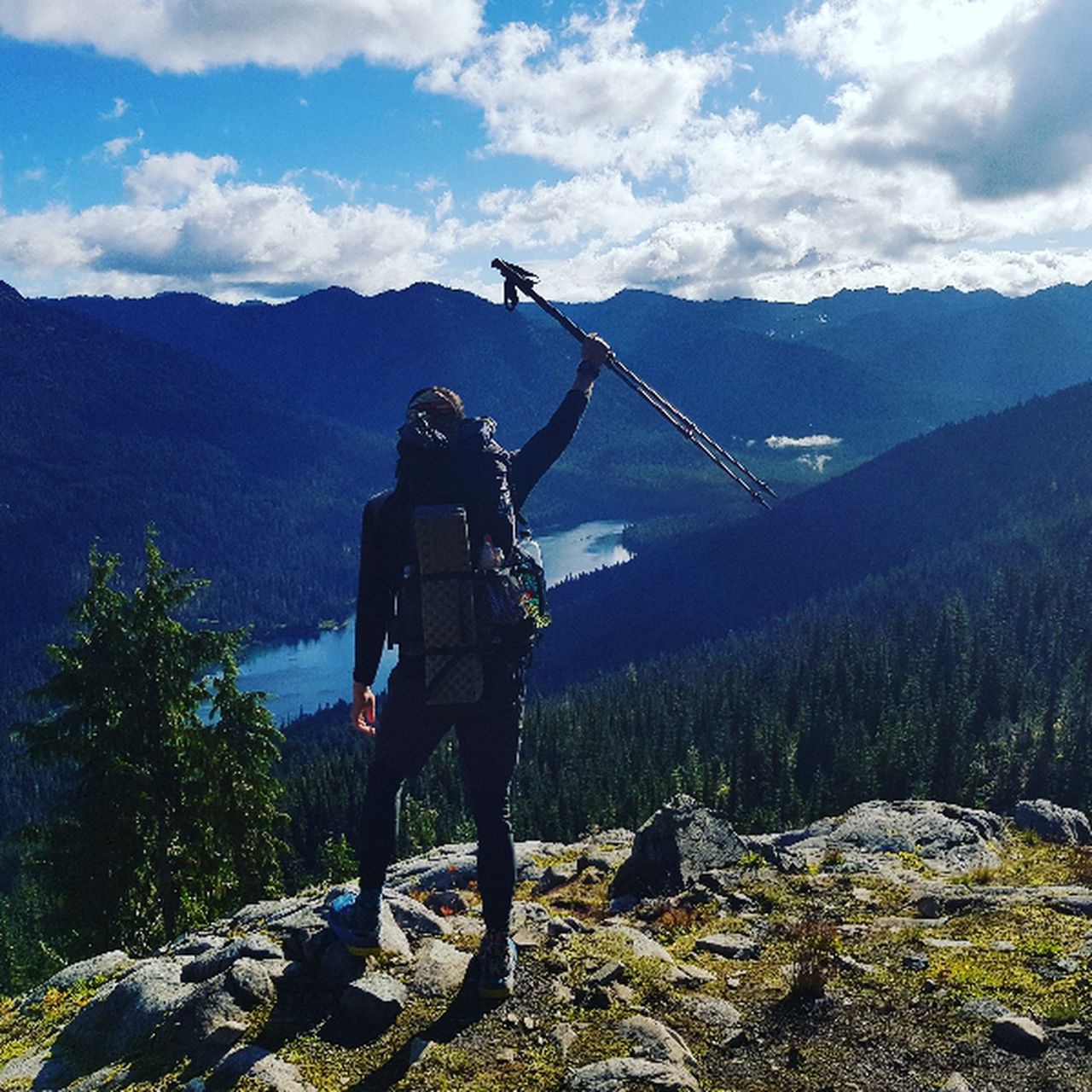
Soiernspitze | 2253m
| Elevation gain |
| Elevation loss |
| Distance |
| Duration |
| Highest altitude |
| Rating |
Route Information
Automatic direction calculation (experimental feature, please provide feedback)
By car: Navigate using Google maps
By public transport:
Train station near start point: Klais (3.3 Km from start point)
Bus stop near start point: Isar-Seinsbrücke (319 m from start point)
------
| Technical Difficulty | Medium | |||||||||||
|---|---|---|---|---|---|---|---|---|---|---|---|---|
| Gear | Hiking Boots | |||||||||||
| Popularity | 2 | |||||||||||
Route statistics
| Highest point | 2253m | |||||||||||
|---|---|---|---|---|---|---|---|---|---|---|---|---|
| Total gain | 1463m | |||||||||||
| Total loss | 1464m | |||||||||||
| Duration | 08h30m | |||||||||||
| Distance | 19.4Km | |||||||||||
| Rating | 1408 | |||||||||||
Best Season
Forecast
Author