Murnauer Moos Staffelsee Rundweg | 710m
| Elevation gain |
| Elevation loss |
| Distance |
| Duration |
| Highest altitude |
| Rating |
Route Information
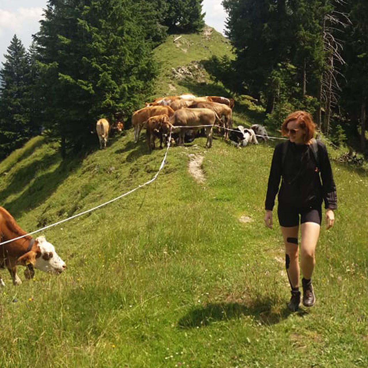
An easy relaxing hike for any season
Automatic direction calculation (experimental feature, please provide feedback)
By car: Navigate using Google maps
By public transport:
Train station near start point: Murnau (0.1 Km from start point)
Bus stop near start point: Murnau Weindorfer Straße (1090 m from start point)
Bus stop near start point: Ramsachleite (1154 m from start point)
------
| Technical Difficulty | Very Easy | |||||||||||
|---|---|---|---|---|---|---|---|---|---|---|---|---|
| Gear | ||||||||||||
| Popularity | 2 | |||||||||||
Route statistics
| Highest point | 710m | |||||||||||
|---|---|---|---|---|---|---|---|---|---|---|---|---|
| Total gain | 259m | |||||||||||
| Total loss | 255m | |||||||||||
| Duration | 04h50m | |||||||||||
| Distance | 18.3Km | |||||||||||
| Rating | 1028 | |||||||||||
Best Season
Forecast
Author