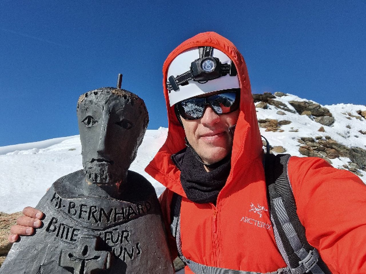
Benediktenwand from Kochel | 1800m
| Elevation gain |
| Elevation loss |
| Distance |
| Duration |
| Highest altitude |
| Rating |
Route Information
Benediktenwand (1801m) - round tour hike, mostly T1 and T2 with a very short section T3.
The starting point is Kochel am See, and after hiking through the forest around 4 hours, you reach the peak. An option is to go and make a lunch break at Tützinger-Hütte, one hour back. You just follow the road back for 30 minutes and then you turn right for an other 30. The road is very good marked.
After the hut, in 3-4 hours you can make your descent to the starting point - Kochel translation.
By public transport: starting point: Kochel am See
There are trains from Munich Central Station almost every hour and the trip will take around one hour and 20 minutes.
Also to return, there are trains to Munich every hour!
By car: Navigate using Google maps
Tützinger Hütte
| Technical Difficulty | Medium | |||||||||||
|---|---|---|---|---|---|---|---|---|---|---|---|---|
| Gear | Hiking Boots , Hiking Poles | |||||||||||
| Popularity | 1 | |||||||||||
Route statistics
| Highest point | 1800m | |||||||||||
|---|---|---|---|---|---|---|---|---|---|---|---|---|
| Total gain | 1376m | |||||||||||
| Total loss | 1349m | |||||||||||
| Duration | 09h12m | |||||||||||
| Distance | 23.6Km | |||||||||||
| Rating | 1444 | |||||||||||
Best Season
Forecast
Author