Trettachspitze (2,595 m) is one of the most attractive peak in Allgäu, and is also know as Matterhorn of Allgäu.
Ascent: Easy hike over Hintere Einödsbergalpe, Spätengundkopf and Hinterer Wilder Gund to this famous Allgäu peak. Before the climb starts a firn covered scree field has to be crossed. Attempting the peak from north east has the advantage of covering the most technical parts in ascend and having the option to abseil on descent using fixed bolts.
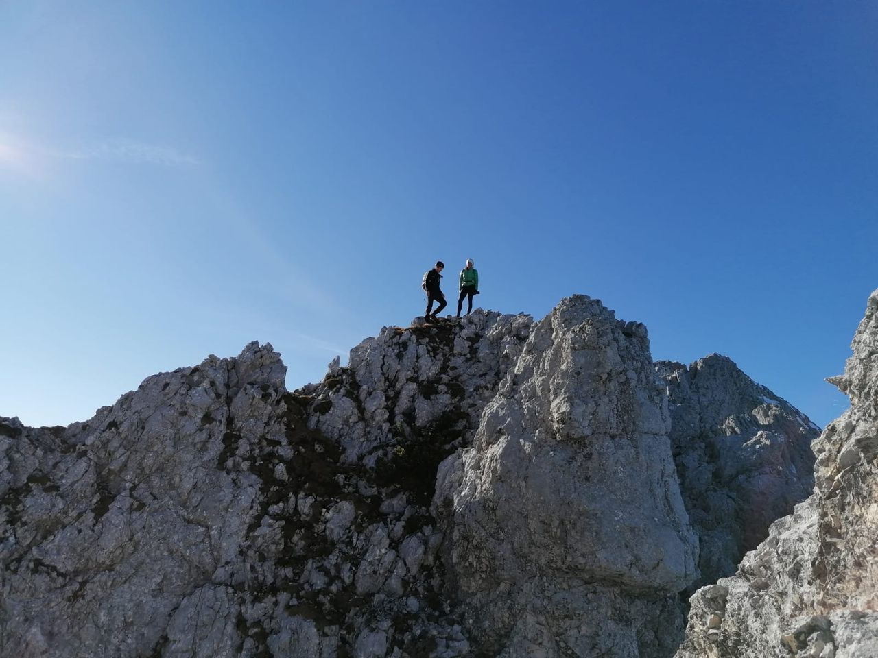
The climb starts with II/III until a snow field is reached, keeping left should be easier. Afterwards follows the north east ridge with very exposed scrambling II until Blodigkessel is reached: climb out of it(III) to reach some sort of wooden staff and the peak shortly behind it.
Descent: Downwards follow the NW ridge until you see a bolt beneath. After an easy climb down to it you can abseil or continue in difficulty II. The most difficult part is shortly after this first bolt. After this continue down(II). The way down from Waltenberger Haus is not to be underestimated.
TOPO: TOPO
Weather: Peak, Valley
Gear: Helmet is recommended, rope for hikers who are new in mountaineering.