Leutascher Dreitorspitze T5/II | 2682m
| Elevation gain |
| Elevation loss |
| Distance |
| Duration |
| Highest altitude |
| Rating |
Route Information
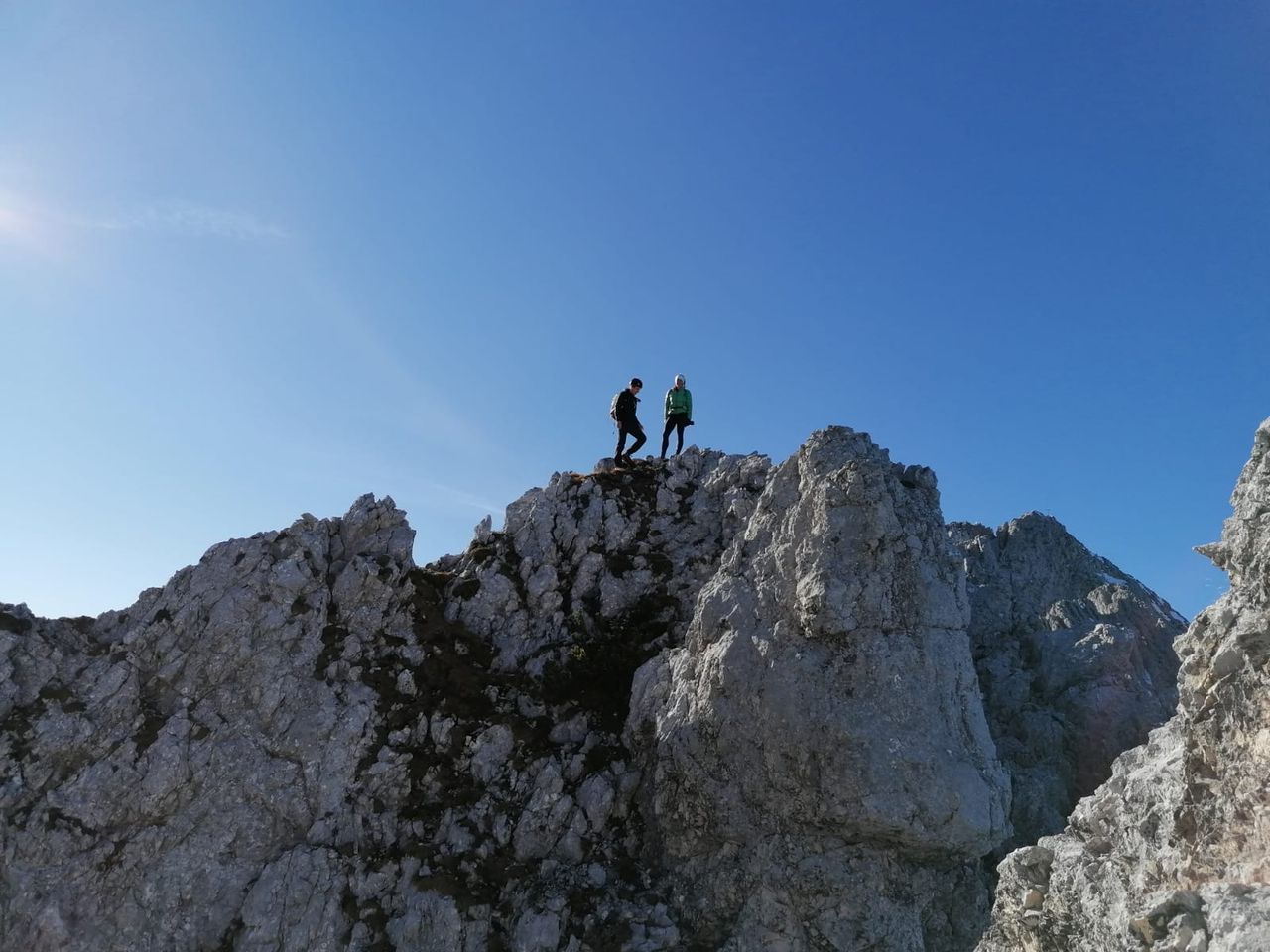
Easy hike through puittal, then Scrambling I to söllerpass. Panorama hike through leutascher platt with its many sinkholes. The 4th highest mountain of Germany is not an easy hike but very rewarding due its many facets.
The peak itself can be climbed with grade II in summer through very loose terrain. The very steep and exposed ascent is also famous in winter for the 45° slope it provides.
Descent through the platt along meillerhütte and through bergleintal.
Automatic direction calculation (experimental feature, please provide feedback)
By car: Navigate using Google maps
By public transport:
Train station near start point: Gießenbach (5.1 Km from start point)
Bus stop near start point: Reindlau (336 m from start point)
Bus stop near start point: Unterleutasch Lochlehen (906 m from start point)
------
Automatic hut detection (experimental feature, please provide feedback)
Meilerhütte (2366 m):
Wikipedia: Wikipedia page
Location: Google maps
------
| Technical Difficulty | Difficult | |||||||||||
|---|---|---|---|---|---|---|---|---|---|---|---|---|
| Gear | Helmet | |||||||||||
| Popularity | 1 | |||||||||||
Route statistics
| Highest point | 2682m | |||||||||||
|---|---|---|---|---|---|---|---|---|---|---|---|---|
| Total gain | 1621m | |||||||||||
| Total loss | 1619m | |||||||||||
| Duration | 07h34m | |||||||||||
| Distance | 14.6Km | |||||||||||
| Rating | 1546 | |||||||||||
Best Season
Forecast
Author