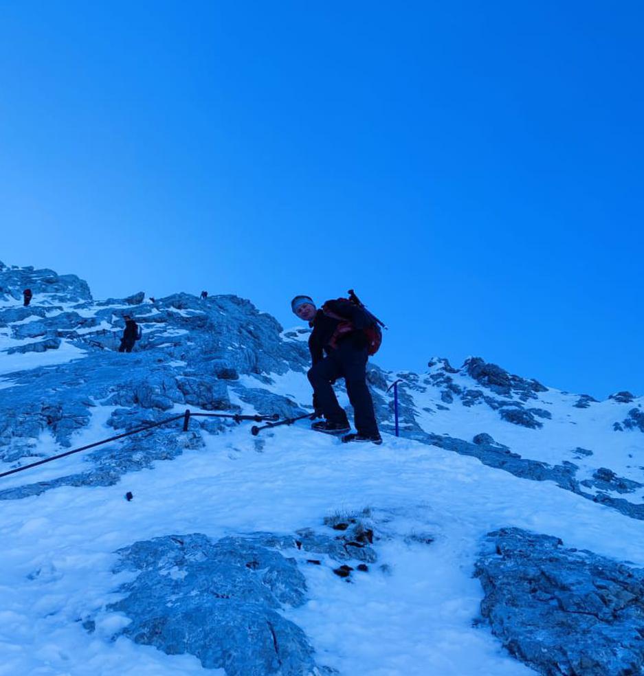
Wendelstein Rundtour | 1838m
| Elevation gain |
| Elevation loss |
| Distance |
| Duration |
| Highest altitude |
| Rating |
Route Information
Wendelstein von Osterhofen nach Bayrischzell
Automatic direction calculation (experimental feature, please provide feedback)
By car: Navigate using Google maps
By public transport:
Train station near start point: Osterhofen (Oberbay) (0.0 Km from start point)
Train station near end point: Bayrischzell (0.0 Km from end point)
------
Automatic hut detection (experimental feature, please provide feedback)
Wendelsteinhaus (1724 m):
Website: Homepage
Phone: +49 (0) 80 23/404
Location: Google maps
------
| Technical Difficulty | Medium | |||||||||||
|---|---|---|---|---|---|---|---|---|---|---|---|---|
| Gear | ||||||||||||
| Popularity | 4 | |||||||||||
Route statistics
| Highest point | 1838m | |||||||||||
|---|---|---|---|---|---|---|---|---|---|---|---|---|
| Total gain | 1114m | |||||||||||
| Total loss | 1118m | |||||||||||
| Duration | 05h31m | |||||||||||
| Distance | 13.1Km | |||||||||||
| Rating | 1105 | |||||||||||
Best Season
Forecast
Author