Gartnerwand Überschreitung | 2377m
| Elevation gain |
| Elevation loss |
| Distance |
| Duration |
| Highest altitude |
| Rating |
Route Information
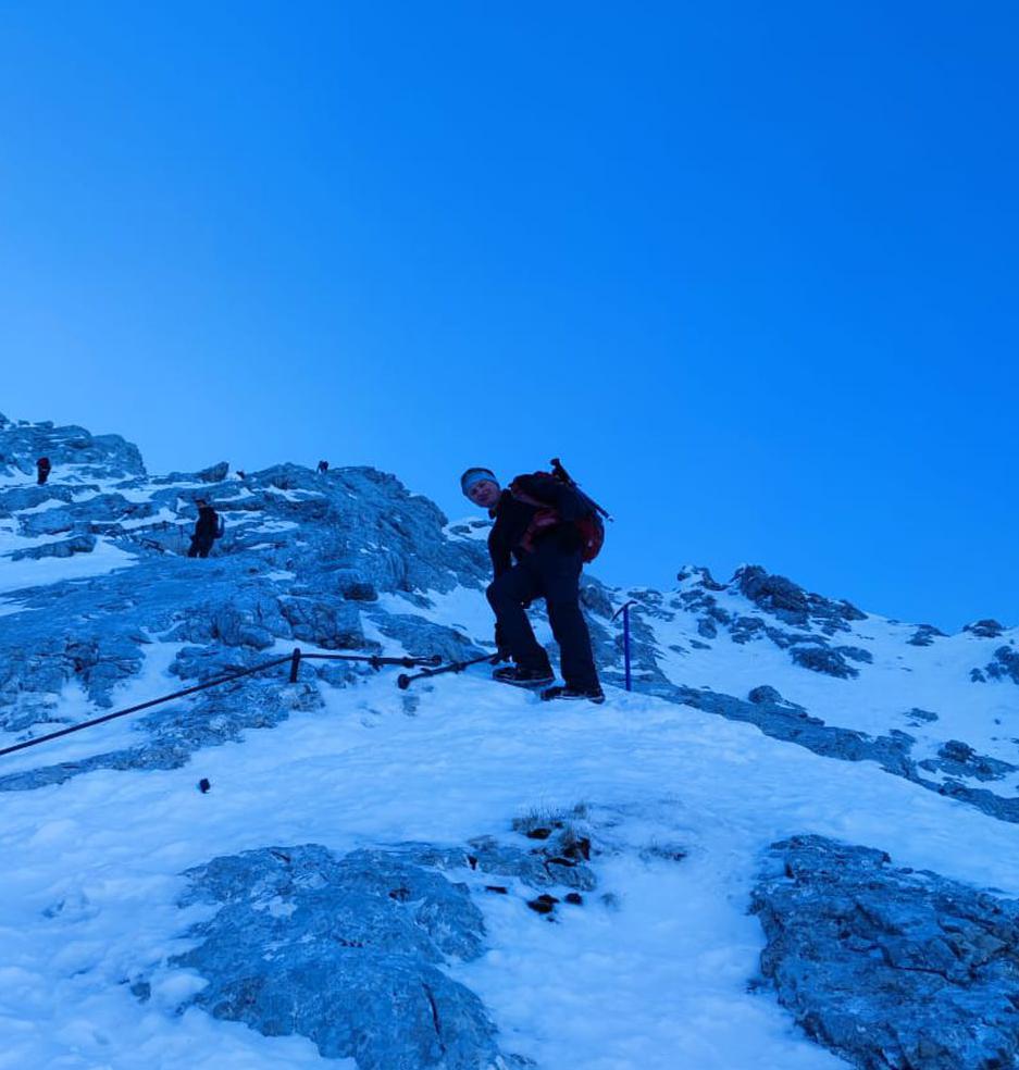
Difficult hike, climbing in grade I and II- for 1 - 2 hours but impressive views. Difficult parts are well secrured.
Automatic direction calculation (experimental feature, please provide feedback)
By car: Navigate using Google maps
By public transport:
Train station near start point: Lermoos (0.0 Km from start point)
Bus stop near start point: Lermoos Abzw Panoramabad (397 m from start point)
Bus stop near start point: Leermos Grubigsteinbahn (406 m from start point)
Train station near end point: Bichlbach-Berwang (0.0 Km from end point)
Bus stop near end point: Bichlbach Dorf (239 m from end point)
Bus stop near end point: Bichlbach Almkopfbahn Bahnhaltestlle (1372 m from end point)
------
Automatic hut detection (experimental feature, please provide feedback)
Wolfratshauser Hütte (1751 m):
Wikipedia: Wikipedia page
Location: Google maps
------
| Technical Difficulty | Difficult | |||||||||||
|---|---|---|---|---|---|---|---|---|---|---|---|---|
| Gear | ||||||||||||
| Popularity | 1 | |||||||||||
Route statistics
| Highest point | 2377m | |||||||||||
|---|---|---|---|---|---|---|---|---|---|---|---|---|
| Total gain | 1407m | |||||||||||
| Total loss | 1341m | |||||||||||
| Duration | 08h11m | |||||||||||
| Distance | 17.0Km | |||||||||||
| Rating | 1620 | |||||||||||
Best Season
Forecast
Author