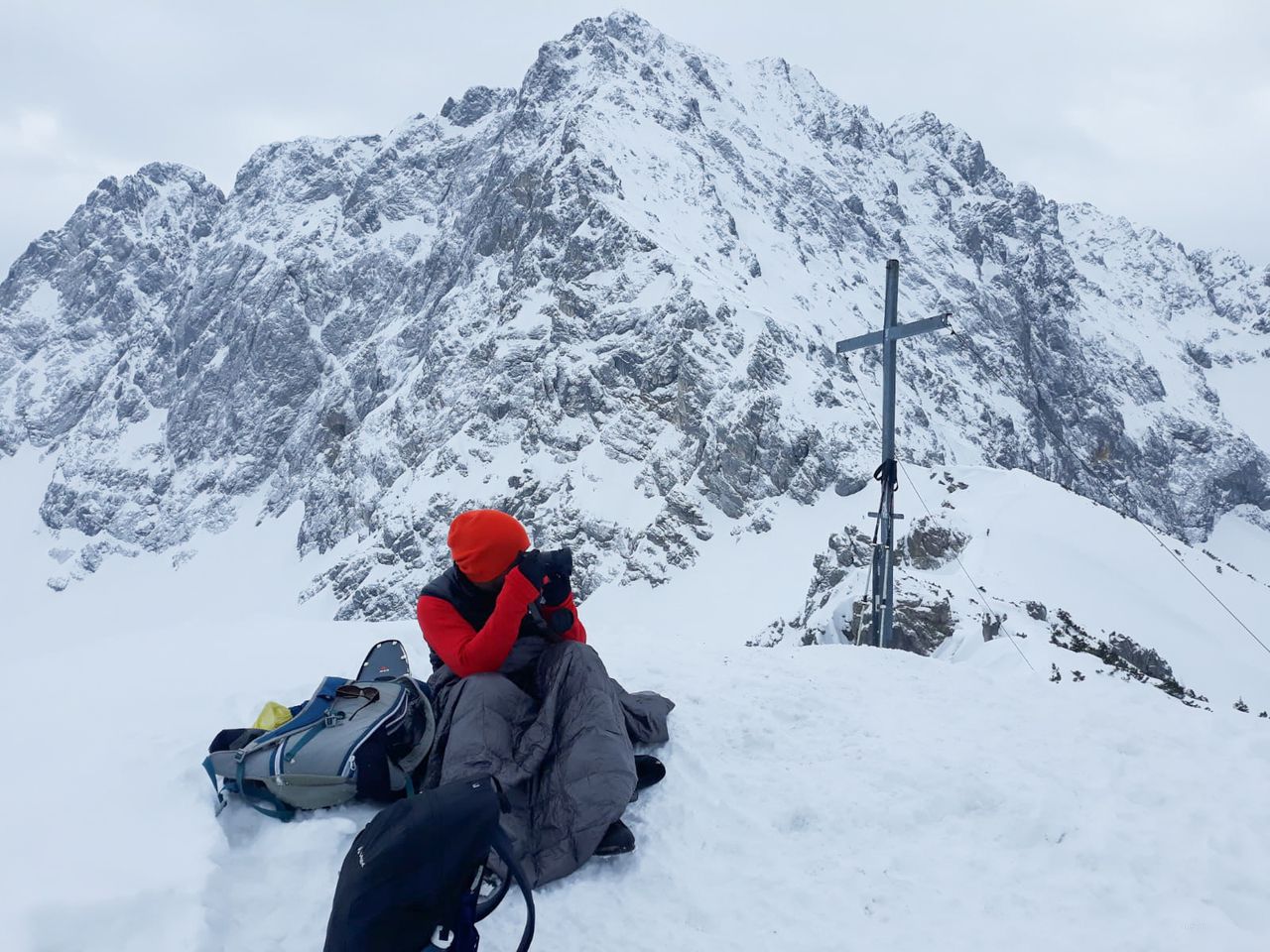
Steinkarkopf (Wörnerkopf) | 1981m
| Elevation gain |
| Elevation loss |
| Distance |
| Duration |
| Highest altitude |
| Rating |
Route Information
This route starts at the Parking lot for ski tours leading to Dammkar (don't take that route!)
Follow Trail #200 for about 2km
Turn right and follow Trail #260 to Hochlandhütte
From the Hut, turn left to follow marked route to Wörnerkopf (Wörner Sattel)
Optional to stop by Wörner Sattel
From the peak at Steinkarkopf, continue to the ridge descent (trail #267). Follow signs for Rehbergalm.
From the hut, follow Trail #264 (left from the Hut with peak behind you)
Once you reach the forest road. DO NOT follow the signs, but turn left instead of right to go back towards Mittenwald train station.
Automatic direction calculation (experimental feature, please provide feedback)
By car: Navigate using Google maps
By public transport:
Train station near start point: Mittenwald (0.7 Km from start point)
Bus stop near start point: Mittenwald Bahnhof/Postamt (703 m from start point)
Ref : 2
Bus stop near start point: Geigenbauschule (912 m from start point)
Ref : 2
------
Automatic hut detection (experimental feature, please provide feedback)
Hochlandhütte (1623 m):
Phone: +49 174 9897863
Location: Google maps
------
| Technical Difficulty | Easy | |||||||||||
|---|---|---|---|---|---|---|---|---|---|---|---|---|
| Gear | Hiking Boots , Hiking Poles | |||||||||||
| Popularity | 9 | |||||||||||
Route statistics
| Highest point | 1981m | |||||||||||
|---|---|---|---|---|---|---|---|---|---|---|---|---|
| Total gain | 1097m | |||||||||||
| Total loss | 1097m | |||||||||||
| Duration | 05h50m | |||||||||||
| Distance | 14.4Km | |||||||||||
| Rating | 1103 | |||||||||||
Best Season
Forecast
Author