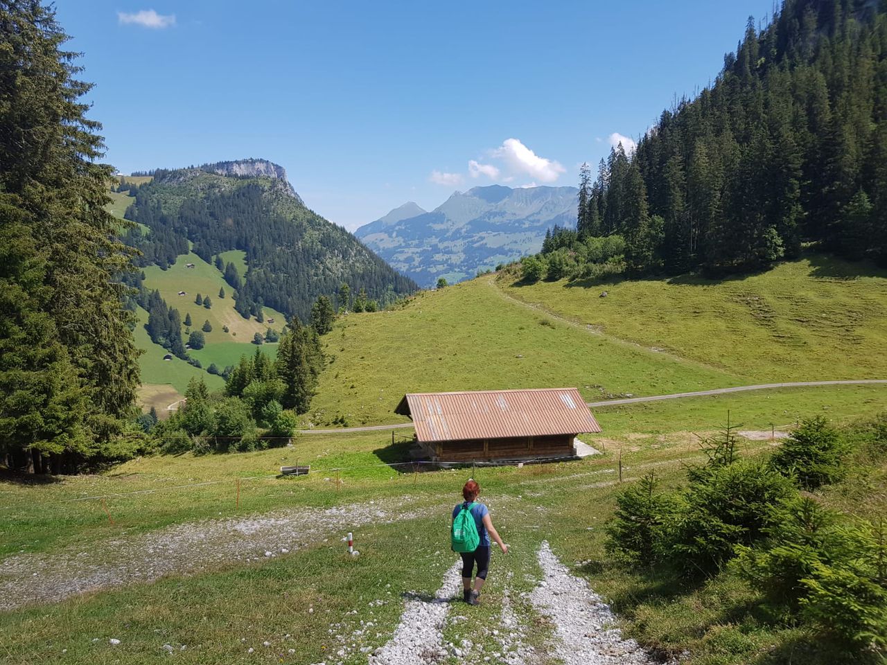
Geitau-Schweinsberg-Türkenköpf | 1512m
| Elevation gain |
| Elevation loss |
| Distance |
| Duration |
| Highest altitude |
| Rating |
Route Information
(No description available)
Automatic direction calculation (experimental feature, please provide feedback)
By car: Navigate using Google maps
By public transport:
Train station near start point: Geitau (0.1 Km from start point)
Bus stop near start point: Geitau SEV-Nothaltestelle (321 m from start point)
------
Automatic hut detection (experimental feature, please provide feedback)
Kesselalm (1278 m):
Website: Homepage
Phone: +4980282602
Location: Google maps
------
| Technical Difficulty | Medium | |||||||||||
|---|---|---|---|---|---|---|---|---|---|---|---|---|
| Gear | ||||||||||||
| Popularity | 0 | |||||||||||
Route statistics
| Highest point | 1512m | |||||||||||
|---|---|---|---|---|---|---|---|---|---|---|---|---|
| Total gain | 820m | |||||||||||
| Total loss | 820m | |||||||||||
| Duration | 04h45m | |||||||||||
| Distance | 12.9Km | |||||||||||
| Rating | 1054 | |||||||||||
Best Season
Forecast
Author