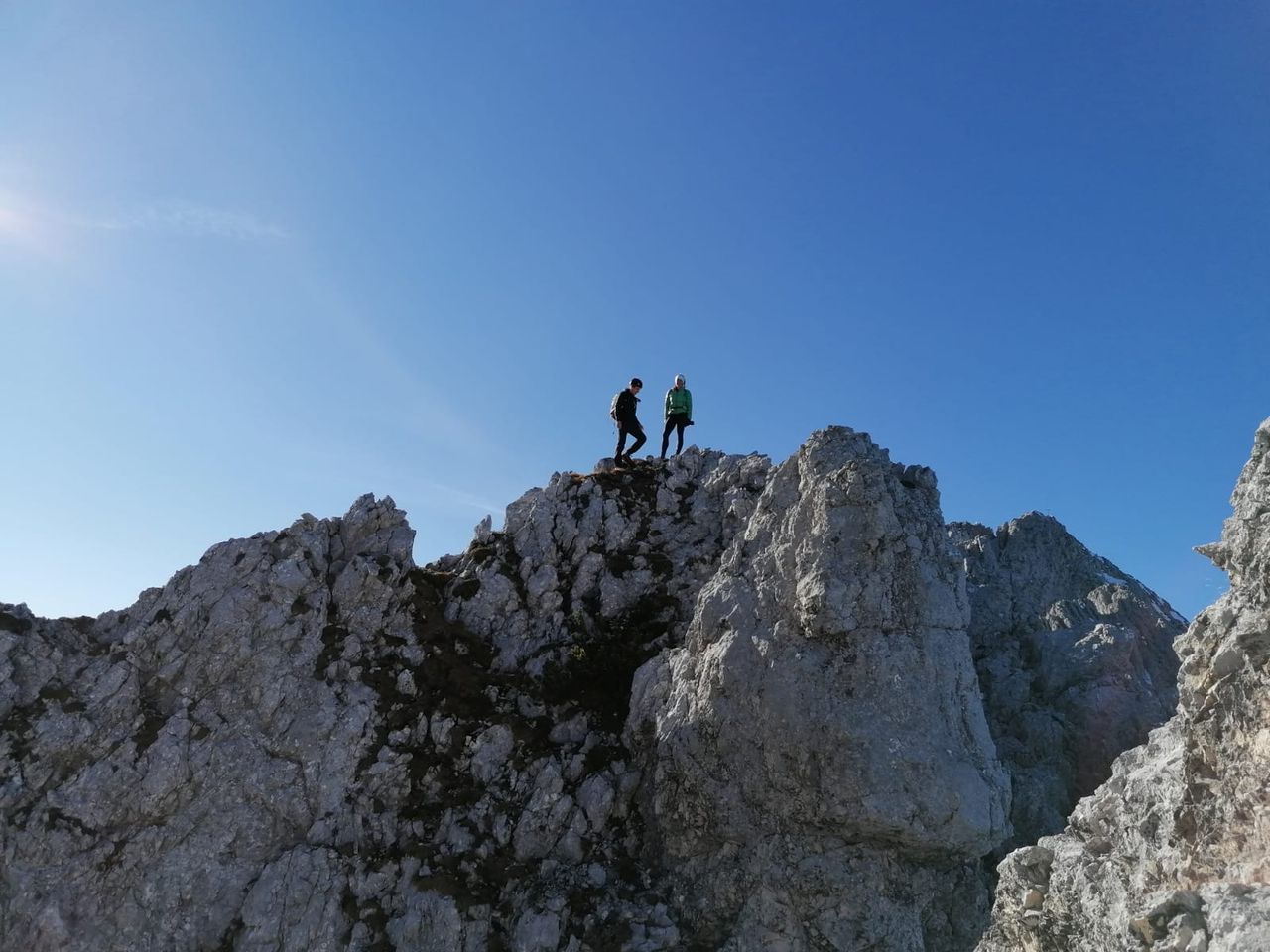
T5/II Hochkalter übers Blaueis | 2608m
| Elevation gain |
| Elevation loss |
| Distance |
| Duration |
| Highest altitude |
| Rating |
Route Information
(No description available)
Automatic direction calculation (experimental feature, please provide feedback)
By car: Navigate using Google maps
By public transport:
Train station near start point: Bischofswiesen (9.0 Km from start point)
Bus stop near start point: Abzweig Blaueis (10 m from start point)
------
Automatic hut detection (experimental feature, please provide feedback)
Blaueishütte (1680 m):
Website: Homepage
Phone: +498657271
Location: Google maps
------
| Technical Difficulty | Difficult | |||||||||||
|---|---|---|---|---|---|---|---|---|---|---|---|---|
| Gear | ||||||||||||
| Popularity | 1 | |||||||||||
Route statistics
| Highest point | 2608m | |||||||||||
|---|---|---|---|---|---|---|---|---|---|---|---|---|
| Total gain | 1770m | |||||||||||
| Total loss | 1770m | |||||||||||
| Duration | 07h57m | |||||||||||
| Distance | 15.4Km | |||||||||||
| Rating | 1647 | |||||||||||
Best Season
Forecast
Author