Säuling twin peaks from the south side | 2048m
| Elevation gain |
| Elevation loss |
| Distance |
| Duration |
| Highest altitude |
| Rating |
Route Information
Start and end at Reutte in Tyrol.
Going up in a lovely forest trail (With a longer T1 alternative most of the time) 750hm until the Säulinghaus (1693 m). from the hut, trail is changing to a steeper beautiful ascent, with some secure cables and a bit of basic hand use.
This area is a frequent playground of impressive mountain goats.
At the saddle, appears a stunning view of the east Allgäu lakes and the 2 most famous castles in Germany: Neuschwanstein and Hohenschwangau.
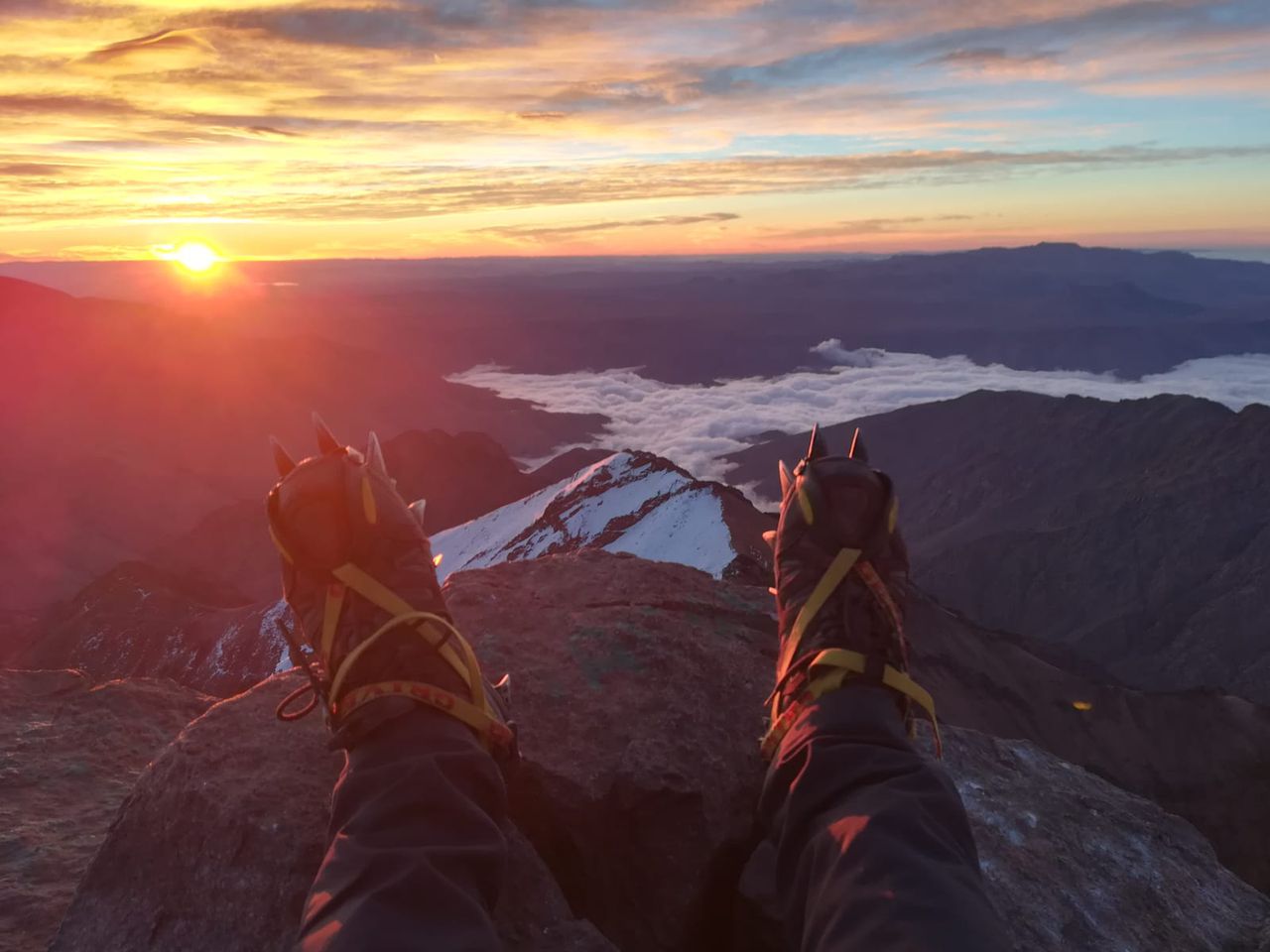
From this view point, there is a short trail to a summit to the west and a 15m walk to the twin summits of the Säuling(2048 m), where the view is even more spectacular, adding the Lech in the Austrian side, Zugspitze, Daniel and other Austrian mountain ranges. We took the same way down. One alternative is to take the trail towards the castles in the German side.
Not beginner friendly and a bit exposed.
While driving back to Munich, it is recommended to use the beautiful roads L205 and st2060, for a refreshing swim at the Plansee and nice views when crossing the Ammer mountain range and Ettaler forest.
Both mountain goats and hikers ahead might drop stones
| Technical Difficulty | Difficult | |||||||||||
|---|---|---|---|---|---|---|---|---|---|---|---|---|
| Gear | Hiking Boots | |||||||||||
| Popularity | 0 | |||||||||||
Route statistics
| Highest point | 2048m | |||||||||||
|---|---|---|---|---|---|---|---|---|---|---|---|---|
| Total gain | 1248m | |||||||||||
| Total loss | 1248m | |||||||||||
| Duration | 05h15m | |||||||||||
| Distance | 11.3Km | |||||||||||
| Rating | 1178 | |||||||||||
Best Season
Forecast
Author