Drachensee and Seebensee via Hinteres Tajatörl | 2261m
| Elevation gain |
| Elevation loss |
| Distance |
| Duration |
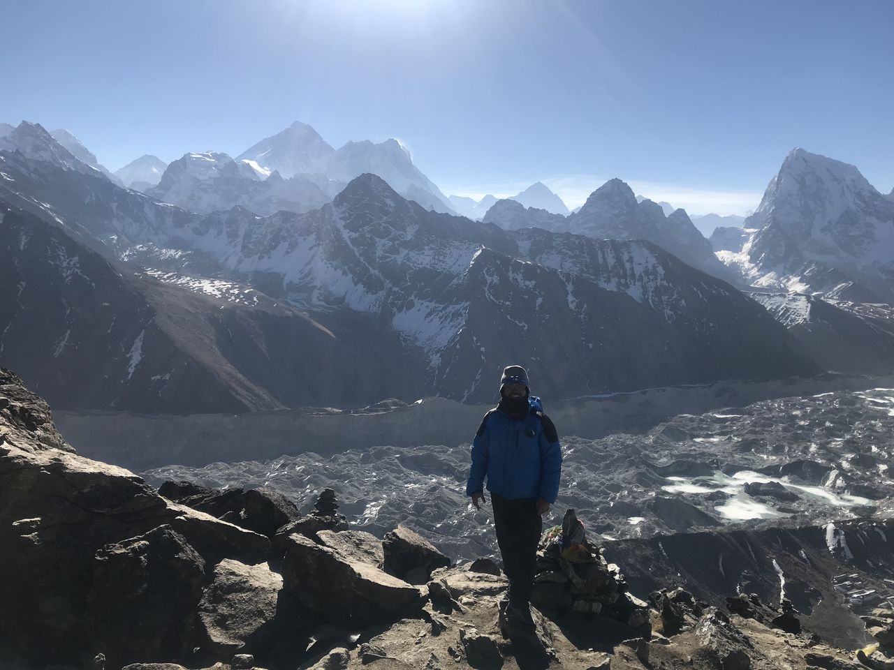
| Highest altitude |
| Rating |
Route Information
Ehrwald - Ehrwalder Alm - Brendlikar - Hinteres Tajatörl - Drachensee - Seebensee - Ehrwalder Alm - Ehrwald
Optional path down: Hoher Gang (directly after Seebensee), but very steep!!
Automatic direction calculation (experimental feature, please provide feedback)
By car: Navigate using Google maps
By public transport:
Train station near start point: Ehrwald Zugspitzbahn (3.1 Km from start point)
Bus stop near start point: Ehrwald Almbahn (43 m from start point)
------
Automatic hut detection (experimental feature, please provide feedback)
Ehrwalder Alm (1502 m):
Location: Google maps
Coburger Hütte (1927 m):
Website: Homepage
Phone: +43 6643254714
Wikipedia: Wikipedia page
Location: Google maps
Seeben Alm (1566 m):
Location: Google maps
------
| Technical Difficulty | Very Difficult | |||||||||||
|---|---|---|---|---|---|---|---|---|---|---|---|---|
| Gear | ||||||||||||
| Popularity | 1 | |||||||||||
Route statistics
| Highest point | 2261m | |||||||||||
|---|---|---|---|---|---|---|---|---|---|---|---|---|
| Total gain | 1302m | |||||||||||
| Total loss | 1295m | |||||||||||
| Duration | 08h39m | |||||||||||
| Distance | 20.4Km | |||||||||||
| Rating | 1365 | |||||||||||
Best Season
Forecast
Author