Three Via Ferratas : Seeben, Tajakante, Coburger | 2450m

Region and route description
Map and directions

Optional information
Add photos

We are going by train to Austria, more precisely a nice small town called Ehrwald, from where we will start hiking towards the start of the Seeben Via Ferrata which is rated by difficulty of D/E.

After finishing this, we continue our route next to the beautiful Seeben lake (where we can optionally take a dip later), and go towards the start of the Tajakante Via Ferrata (also rated D/E ).

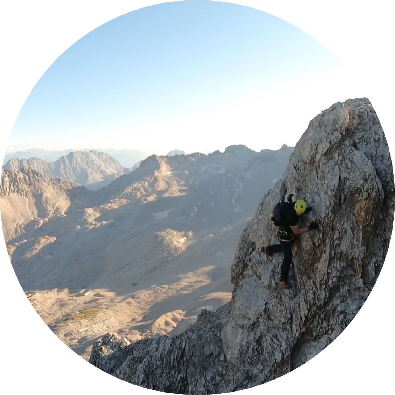
When we reach the peak of Vorderer Tajakopf and take a well earned break, we will go down towards the start of the last goal of the day, the Coburger Via Ferrata (D/E). 

Upon successfully climbing to the Hinterer Tajakopf, the route continues down towards the Coburger Hütte where we can optionally have a beer. 

From there we go back towards the Hoher Gang route and descend down to Ehrwald train station ( we optionally take a dip at the Seeben lake ). 


This is a LONG day in the mountains, and only really fit and experienced individuals should attempt this.

Expected time to finish this tour is about 12 hours. 

To get there from Munich by train, you should buy the Werdenfels ticket (not the Bayern ticket) and board the train on the Gl. 27 towards Garmisch - Partenkirchen.
From there you continue in a train ( usually the same train ) that goes to Reutte in Tirol and you exit at the Ehrwald train station and start to hike from there.
Automatic hut detection (experimental feature, please provide feedback)

Seeben Alm (1566 m):
    Location: Google maps

Coburger Hütte (1927 m):
    Website: Homepage
    Phone: +43 6643254714
    Wikipedia: Wikipedia page
    Location: Google maps


Hiking Buddies Munich is not a group of professional mountain guides.

Each participant is responsible for him/herself and has to be prepared, study the route and bring appropriate equipment.


Topo for this tour can be found on the "Bergsteigen.com" website: 

https://www.bergsteigen.com/fileadmin/userdaten/import/topos/tajakante_klettersteig_topo.jpg
Technical Difficulty Very Difficult
Gear Hiking Boots , Klettersteig Set , Helmet , Gloves
Popularity 2
Highest point 2450m
Total gain 1617m
Total loss 1617m
Duration 08h54m
Distance 18.8Km
Rating 2174

Filip

RS