T6/III Ciarforon nordostgrat | 3628m
| Elevation gain |
| Elevation loss |
| Distance |
| Duration |
| Highest altitude |
| Rating |
Route Information
Easy hike to the rifugio. From there follow path on moncorve glacier moraine. Path changes from very clear at the beginning to barely visible - follow the stone man.
At approximately 2960m scramble up to the right (max I) to a snow field (all year). This leads to the glacier: crevasse danger is rather low on the left side. Follow glacier up to the ridge ~35°.
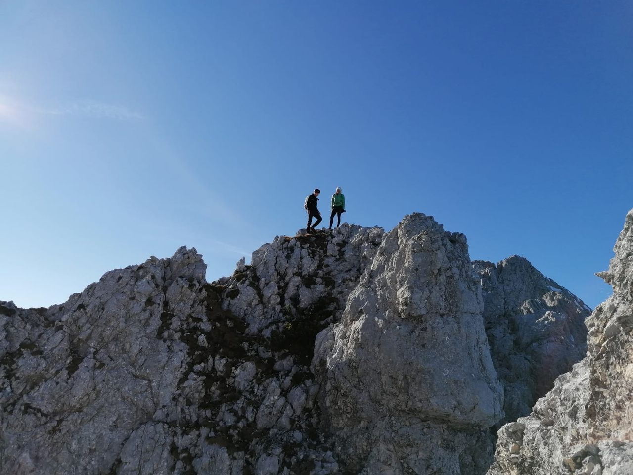
Now follow the ridge: at first easy I, 2 gendarmes at the beginning are easily passed to the right. Afterwards wayfinding becomes difficult with difficulties up to III.
After the rocks there is a steep firn section up to the peak. In summer it can be ice instead.
Automatic direction calculation (experimental feature, please provide feedback)
By car: Navigate using Google maps
By public transport:
Train station near start point: Stazione Ferroviaria di Arvier (20.1 Km from start point)
Train station near end point: Ceres (23.1 Km from end point)
------
Automatic hut detection (experimental feature, please provide feedback)
Rifugio Tetras Lyre (1996 m):
Location: Google maps
Rifugio Vittorio Emanuele II Nuovo (2735 m):
Wikipedia: Wikipedia page
Location: Google maps
Rifugio Vittorio Emanuele II Vecchio
Location: Google maps
------
| Technical Difficulty | Very Easy | |||||||||||
|---|---|---|---|---|---|---|---|---|---|---|---|---|
| Gear | ||||||||||||
| Popularity | 0 | |||||||||||
Route statistics
| Highest point | 3628m | |||||||||||
|---|---|---|---|---|---|---|---|---|---|---|---|---|
| Total gain | 1671m | |||||||||||
| Total loss | 7m | |||||||||||
| Duration | 04h37m | |||||||||||
| Distance | 9.1Km | |||||||||||
| Rating | 1249 | |||||||||||
Best Season
Forecast
Author