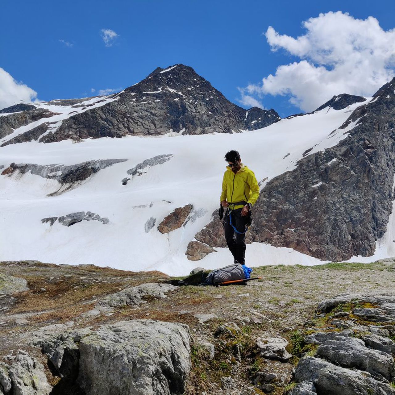
Weissmies(4017m, T3, PD+, 35° ) and Lagginhorn(4010m, T5, PD,II) Normal routes | 3995m
| Elevation gain |
| Elevation loss |
| Distance |
| Duration |
| Highest altitude |
| Rating |
Route Information
Start from Sass-Grund to Weissmiess hut
Acclimatization climb to Lagginjoch(3499m) and back to hut:
https://www.outdooractive.com/de/route/hochtour/walliser-alpen/lagginjoch-von-weissmieshuette/19484383/
Weissmies from the hut and back
https://www.outdooractive.com/de/route/hochtour/walliser-alpen/weissmies-4017-m-normalweg-von-der-weissmies-huette-ueber-hohsaas/19194745/
Lagginhorn from the hut and back
https://www.outdooractive.com/de/route/hochtour/schweiz/lagginhorn-normalroute-4010m-november/105255964/
hike down to Saas-Grund
some time and energy can be saved by taking cable car up to Kreuzboden and same way down.
Recommended to do over 3 days
Automatic direction calculation (experimental feature, please provide feedback)
By car: Navigate using Google maps
By public transport:
Train station near start point: Felskinn (6.3 Km from start point)
------
Automatic hut detection (experimental feature, please provide feedback)
Weissmieshütte SAC (2726 m):
Location: Google maps
------
| Technical Difficulty | Very Easy | |||||||||||
|---|---|---|---|---|---|---|---|---|---|---|---|---|
| Gear | ||||||||||||
| Popularity | 2 | |||||||||||
Route statistics
| Highest point | 3995m | |||||||||||
|---|---|---|---|---|---|---|---|---|---|---|---|---|
| Total gain | 3298m | |||||||||||
| Total loss | 3295m | |||||||||||
| Duration | 14h59m | |||||||||||
| Distance | 25.3Km | |||||||||||
| Rating | 2828 | |||||||||||
Best Season
Forecast
Author