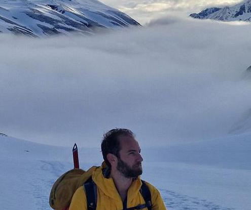
Hoher Dachstein over Schulteranstieg | 2995m
| Elevation gain |
| Elevation loss |
| Distance |
| Duration |
| Highest altitude |
| Rating |
Route Information
This way , the Schulteranstieg avoids a possibly tricky part of the Gletscher.
Klettersteig A/B in 2700m-3000m altitude
The track is not 100% accurate , we go up to 2995m
Automatic direction calculation (experimental feature, please provide feedback)
By car: Navigate using Google maps
By public transport:
Train station near start point: Mandling (6.4 Km from start point)
Bus stop near start point: Dachstein Türlwandhütte (102 m from start point)
Ref : 25
------
Automatic hut detection (experimental feature, please provide feedback)
Dachsteinsüdwandhütte (1871 m):
Location: Google maps
Seethalerhütte (2740 m):
Website: Homepage
Phone: +43/664/3240640
Wikipedia: Wikipedia page
Location: Google maps
------
| Technical Difficulty | Very Easy | |||||||||||
|---|---|---|---|---|---|---|---|---|---|---|---|---|
| Gear | Klettersteig Set , Helmet , Gloves | |||||||||||
| Popularity | 1 | |||||||||||
Route statistics
| Highest point | 2995m | |||||||||||
|---|---|---|---|---|---|---|---|---|---|---|---|---|
| Total gain | 1427m | |||||||||||
| Total loss | 1427m | |||||||||||
| Duration | 06h10m | |||||||||||
| Distance | 13.3Km | |||||||||||
| Rating | 1173 | |||||||||||
Best Season
Forecast
Author