Selvaggio Blu | 766m
| Elevation gain |
| Elevation loss |
| Distance |
| Duration |
| Highest altitude |
| Rating |
Route Information
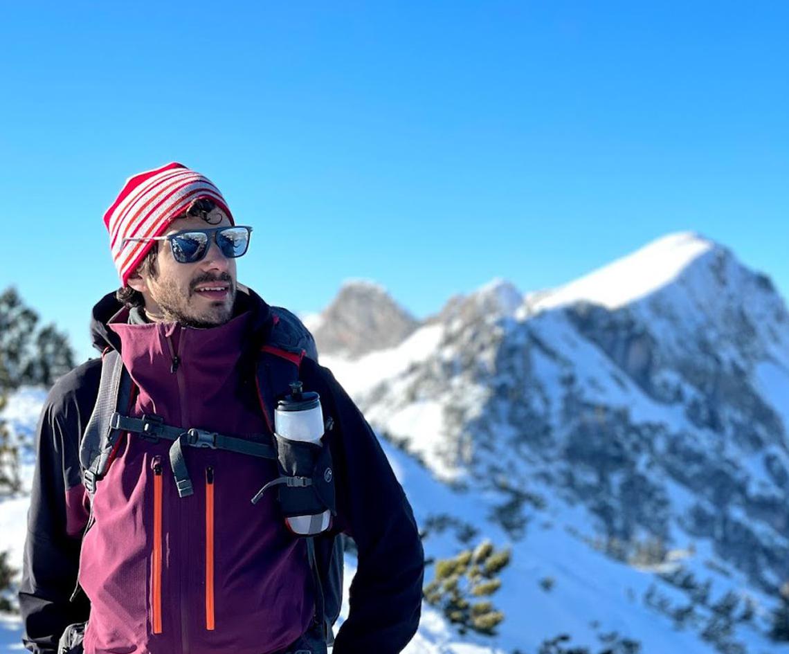
"Selvaggio Blu" ("Wild Blue" in Italian) is a mountaineering route along the cliffs of the Baunei Spramonte in Sardinia. Someone says that it is one of the most difficult routes in the Mediterranean. I honestly don't know how to realize such kind of ranking, but it has been definitely the hardest trekking I've done so far. The difficulties are given by:
- logistics: there are no huts and no water sources along the path
- orienteering: the path is almost not marked and it is really hard to don't get lost :-)
- technical: some mountaineering skills are required, for some small parts of scrambling, via ferrate and at least 8 abseils
For the first two reasons, many people decide to use a professional alpine guide who will drive you along the path, allowing you to enjoy the environment and the beaches. But, in case you are asking "how can we do that without professional help?" I will explain how it is possible to do (and how Laura and I did).
First of all, you have to agree with the tourist office of Baunei about the dates and the places you're going to camp with your tent, contacting them through email selvaggioblu@turismobaunei.eu. The office will provide you all you need to know about the rules, the name of the companies which might help you with logistics, and the GPS coordinates for the camping slot which have to be booked. Once you have booked the place with the office you will have to pay 30 euro fee per person.
Now the second question comes: how do we handle the water and food along with the trekking?
We decided to hide some bottles of water (3 liters per person per day - 4 would have been better) and dry food, close to our camping spots. To do that you can reach these points by hiking, or (as we did) you can rent a boat (~200 euro per day gasoline included) and get close to the beaches. We preferred to rent a boat for two reasons: you can achieve the goal in one day only, it's funnier!!
The TRAIL:
Selvaggio Blu starts from Pedra Longa and ends in Cala Sisine. The official path can be downloaded from https://www.marioverin.com/project/selvaggio-blu/. I also suggest buying Verin's map, just in case, and having a proper resume of each day and the different "escape paths". I will here show how we split the path (based on the camping spot given from the touristic office):
- day 1: from Santa Maria Navarrese to Portu Cuau. Until Punta Giradili the hike is quite easy, after that, the real "Selvaggio Blu" starts! We got lost many times, there is no real path and the "ometti" (rock piles) are pointing to different paths. Close to the end, there are two technical tricky sections (marked as UIAA III level). The first is a "climbdown" over juniper trunks. A few minutes after this point there is a section of climbing (juniper trunks and fixed rope to help)
- day 2: from Portu Cuau to Tasaru. The hike to Cala Goloritzé is quite easy. From Cala Goloritzé to Tasaru there is a climbing section (IV+) called Bacu Boladina. This part is dangerous as the rocks are not stable at all. The climb of the wall is facilitated by a juniper trunk. You exit into a gully exposed to stonefall (belay point on the right). If it is raining, or after a rain, Bacu Boladina must not be done! In this case, you might hike up through Bacu Goloritzé to Su Porteddu (it is a parking/camping/restaurant spot so keep it in mind in case you need something). Then you have to walk around Bruncu 'e Pisu o Bruncu Arvu (trust me, these names are hard to even for Italians... they are written in Sardinian language) to Tasaru. Another alternative path might be the via ferrata at the end of the Cala Goloritzé.
- day 3: from Tasaru to Bacu Padente. Four abseils in this day (around 15-20 meters and the map might not be up to date). Getting lost at the beginning of Bacu Padente is really easy! GPS is not working here. The suggestion is: KEEP THE RIGHT! Otherwise, you will find yourself in front of a wall! If you need water/food (they only have chips) here you can walk all the Bacu Padente to Ololbizzi parking slot.
- day 4: from Bacu Padente to Cala Sisine. Nice hike along the coast with 4 abseils (20m, 40m, 40m, 20m) and a small part of via ferrata. AWESOME VIEW! In Cala Sisine you can either take a boat back to Santa Maria Navarrese, or you can sleep in the restaurant/camping spot Su Coile. And if you want you can hike till Cala Luna (there are ferries to Santa Maria Navarrese from there as well). Take in mind that the last ferry to Santa Maria Navarrese will be around 16:45 from Cala Sisine (16:15 from Cala Luna) and has to be booked to Nuovo Consorzio Marittimo Ogliastra
This resume is NOT enough to organize this multi-day trek. I invite you to try to read as much information as possible before starting the Selvaggio Blu (unfortunately many people get lost here). Do not underestimate it only because it is not in the Alps!!
You might take it longer to go to Cala Mariolu and Cala Biriala.
| Technical Difficulty | Very Easy | |||||||||||
|---|---|---|---|---|---|---|---|---|---|---|---|---|
| Gear | Hiking Boots , Ropes | |||||||||||
| Popularity | 0 | |||||||||||
Route statistics
| Highest point | 766m | |||||||||||
|---|---|---|---|---|---|---|---|---|---|---|---|---|
| Total gain | 3437m | |||||||||||
| Total loss | 3510m | |||||||||||
| Duration | 20h04m | |||||||||||
| Distance | 44.0Km | |||||||||||
| Rating | 3326 | |||||||||||
Best Season
Forecast
Author