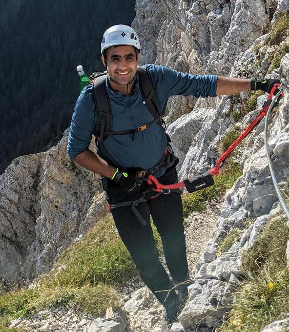
Cima SAT - Lago di Garda - Via Ferrata | 1233m
| Elevation gain |
| Elevation loss |
| Distance |
| Duration |
| Highest altitude |
| Rating |
Route Information
Automatic direction calculation (experimental feature, please provide feedback)
By car: Navigate using Google maps
By public transport:
Train station near start point: Mori (13.1 Km from start point)
------
Automatic hut detection (experimental feature, please provide feedback)
Capanna Santa Barbara (568 m):
Location: Google maps
------
| Technical Difficulty | Very Easy | |||||||||||
|---|---|---|---|---|---|---|---|---|---|---|---|---|
| Gear | Hiking Boots , Klettersteig Set , Helmet , Gloves | |||||||||||
| Popularity | 1 | |||||||||||
Route statistics
| Highest point | 1233m | |||||||||||
|---|---|---|---|---|---|---|---|---|---|---|---|---|
| Total gain | 1179m | |||||||||||
| Total loss | 1179m | |||||||||||
| Duration | 03h43m | |||||||||||
| Distance | 9.5Km | |||||||||||
| Rating | 936 | |||||||||||
Best Season
Forecast
Author