Becco di Mezzodì | 2475m
| Elevation gain |
| Elevation loss |
| Distance |
| Duration |
| Highest altitude |
| Rating |
Route Information
Becco di Mezzodì is a small peak of Croda da Lago group. The name can be translated in "Midday beak" as it looks like a bird beak and the sun appears directly above the peak at noon if you watch from Cortina.
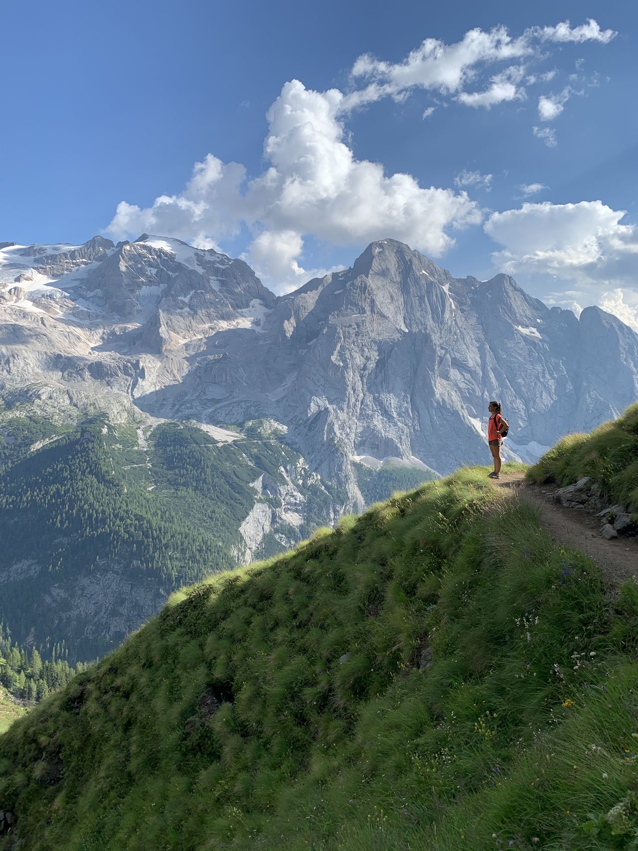
Even though it is a small peak, the view from the top is amazing, if the sky is clear you can see a huge range of Dolomites (and even farther, like Großvenediger and Großglockner).
The approaching is relatively easy: a walk across the hood from Ponte Rù Corto (where there is both a bus station and a parking area) till Lago Fedàra. During this walk, you will have a nice view of 5 Torri, Tofane Group, Cristallo Group, and the Sorapis.
At the lake, there is the hut Rifugio Croda da Lago - Palmieri (with a sauna, if you want to overnight).
From the lake, you keep hiking direction Forcella Ambrizzola, then turn left (dir. South, close to the fence). You will walk around the Becco di Mezzodì to SW.
The end of the approaching is not a marked trail, you should use the "ometti" (rock piles) to have a good orientation.
The climbing section is short and easy (III+) and can be split into 3 sections (the second is the tricky one). 3/4 Quickdraws are enough to ensure the climb if you want to use the rope.
The first pitch is II+, on the right (red arrow to sign it) inside a chimney (20m). The second section (III+) is helped by two fixed ropes. And the third section is another chimney (II+/III-). Finally following the "ometti", in a few minutes the peak will be reached.
Descent: same way, a 50m rope can be used to help.
| Technical Difficulty | Easy | |||||||||||
|---|---|---|---|---|---|---|---|---|---|---|---|---|
| Gear | Helmet | |||||||||||
| Popularity | 0 | |||||||||||
Route statistics
| Highest point | 2475m | |||||||||||
|---|---|---|---|---|---|---|---|---|---|---|---|---|
| Total gain | 156m | |||||||||||
| Total loss | 904m | |||||||||||
| Duration | 03h08m | |||||||||||
| Distance | 9.9Km | |||||||||||
| Rating | 766 | |||||||||||
Best Season
Forecast
Author