Nagelfluhkette by fair means | 1832m
| Elevation gain |
| Elevation loss |
| Distance |
| Duration |
| Highest altitude |
| Rating |
Route Information
Even though this ridge traverse is hardly more difficult than T3 most of the time, it is a long day tour. Time estimations range from 11 to 25 hours, see here or here.
You will come across quite a couple of peaks on this route:
- Hochhäderich (1565 m)
- Falken (1561 m)
- Eineguntkopf (1639 m)
- Hohenfluhalpkopf (1636 m)
- Seelekopf (1663 m)
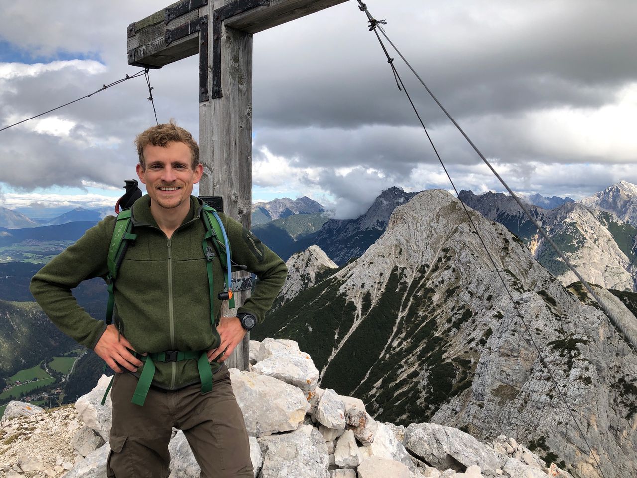
- Hochgrat (1832 m)
- Gelchenwanger Kopf (1810 m)
- Rindalphorn (1822 m)
- Gündleskopf (1748 m)
- Buralpkopf (1772 m)
- Sedererstuiben (1737 m)
- Stuiben (1749 m)
- Steineberg (1660 m)
- Bärenköpfle (1463 m)
- Mittagberg (1451 m)
Apart from the Staufner Haus pretty much at the beginning there is no hut on the way so make sure to pack enough food and water.
You can shorten the route by beginning at the Staufner Haus and taking the cable car up (Hochgratbahn) or/and the chair lift down (Mittagbahn).
Automatic direction calculation (experimental feature, please provide feedback)
By car: Navigate using Google maps
By public transport:
Train station near start point: Bezau (9.9 Km from start point)
Bus stop near start point: Hittisau Häleisen (174 m from start point)
Train station near end point: Blaichach (Allgäu) (0.1 Km from end point)
Bus stop near end point: Blaichach, Schule (204 m from end point)
Bus stop near end point: Bosch-Werk (406 m from end point)
------
Automatic hut detection (experimental feature, please provide feedback)
Staufner Haus (1634 m):
Website: Homepage
Phone: +4983868255
Wikipedia: Wikipedia page
Location: Google maps
------
Very long ridge crossing - steep slopes to the left and the right most of the time.
| Technical Difficulty | Medium | |||||||||||
|---|---|---|---|---|---|---|---|---|---|---|---|---|
| Gear | ||||||||||||
| Popularity | 1 | |||||||||||
Route statistics
| Highest point | 1832m | |||||||||||
|---|---|---|---|---|---|---|---|---|---|---|---|---|
| Total gain | 2220m | |||||||||||
| Total loss | 2264m | |||||||||||
| Duration | 14h57m | |||||||||||
| Distance | 31.1Km | |||||||||||
| Rating | 2210 | |||||||||||
Best Season
Forecast
Author